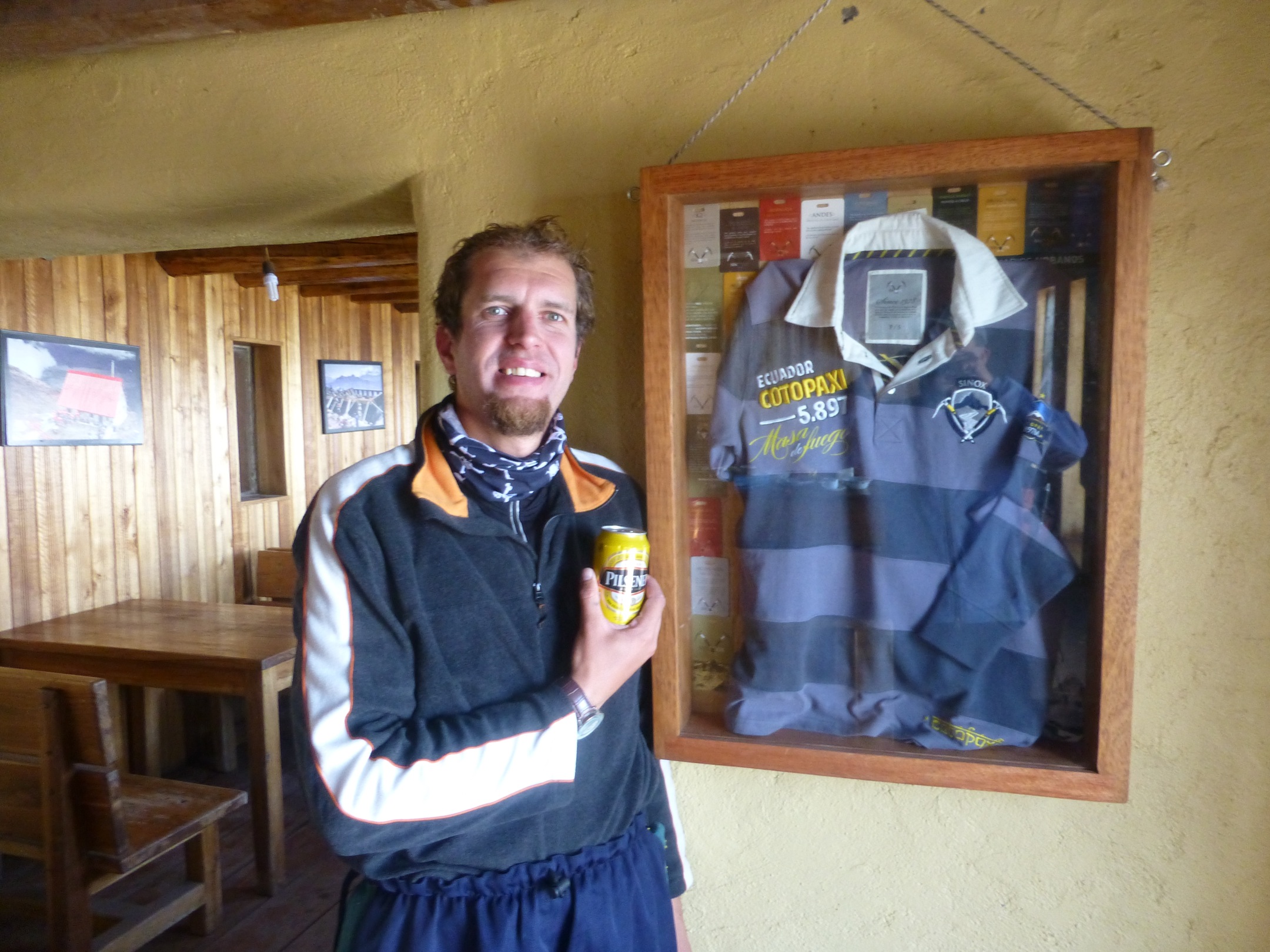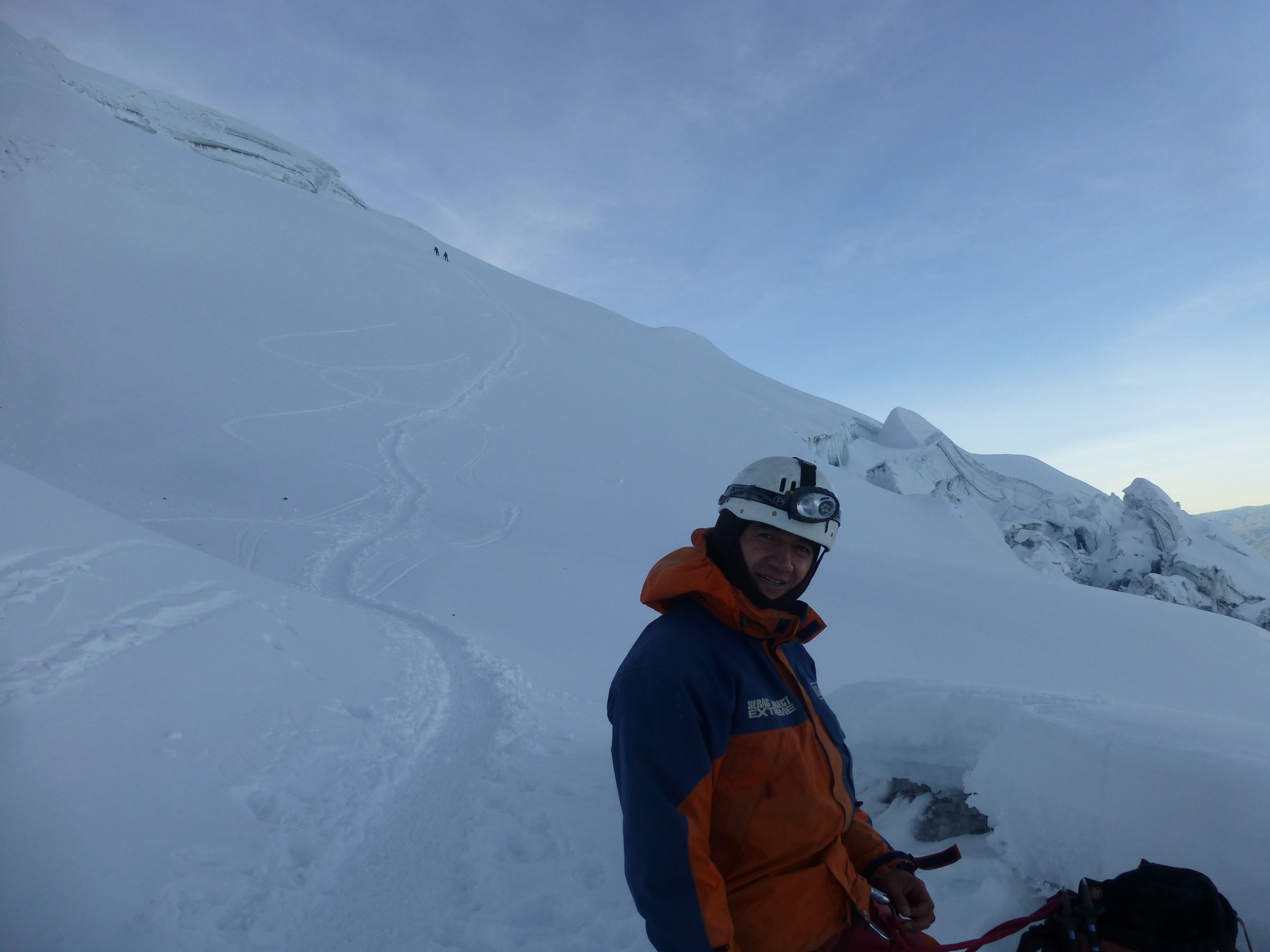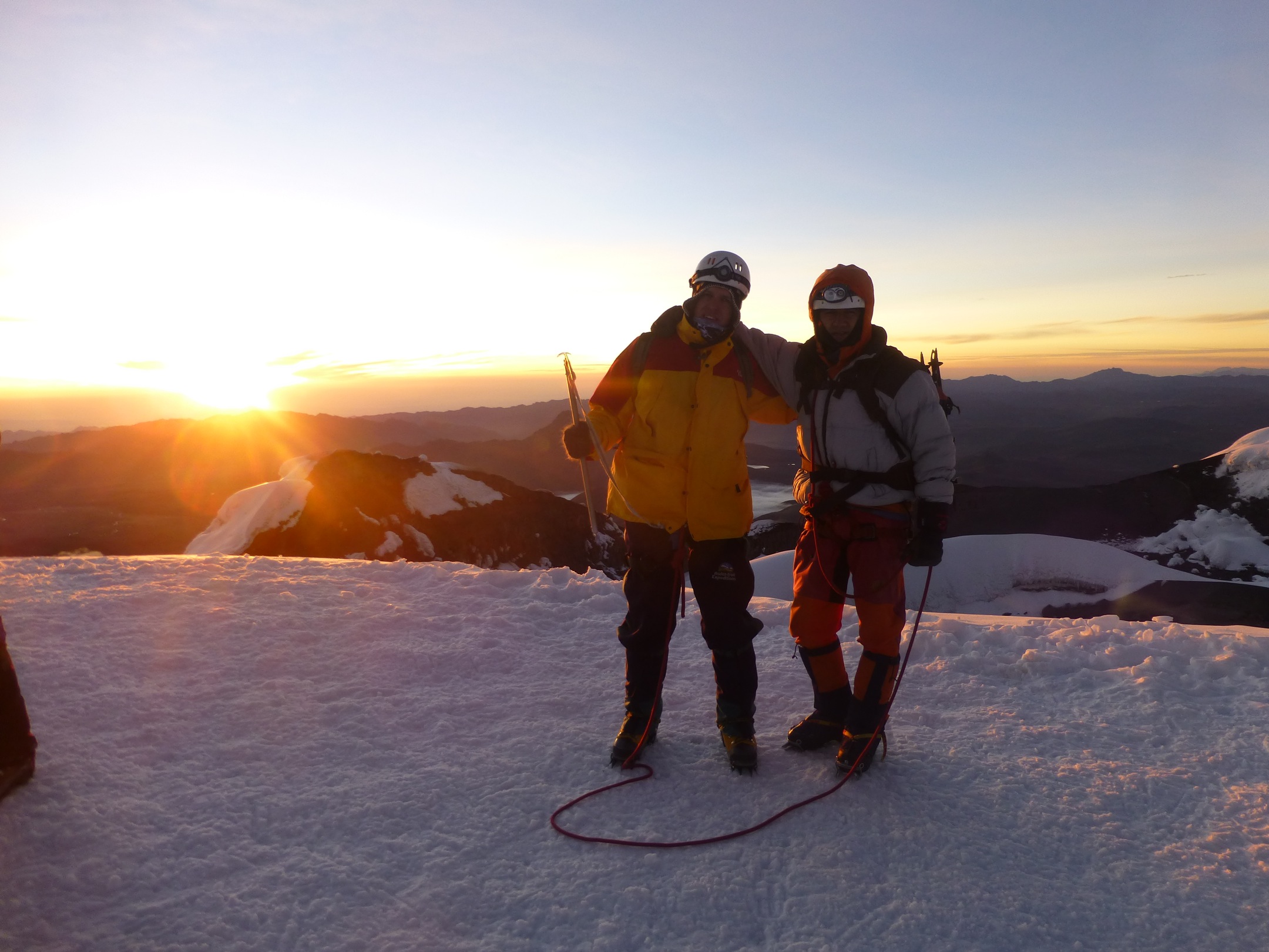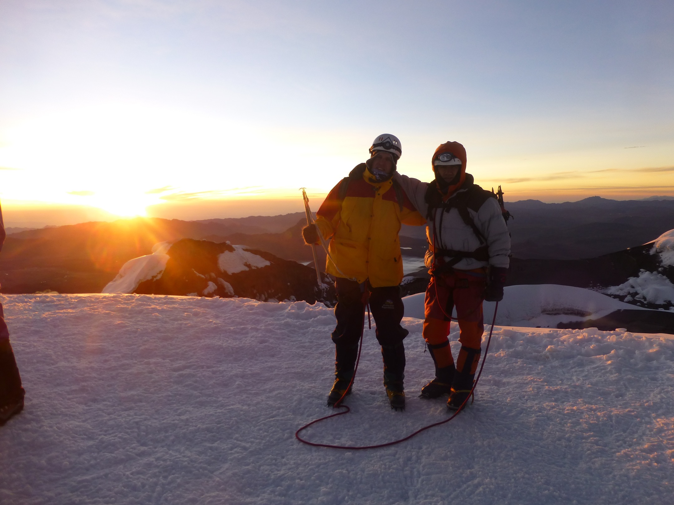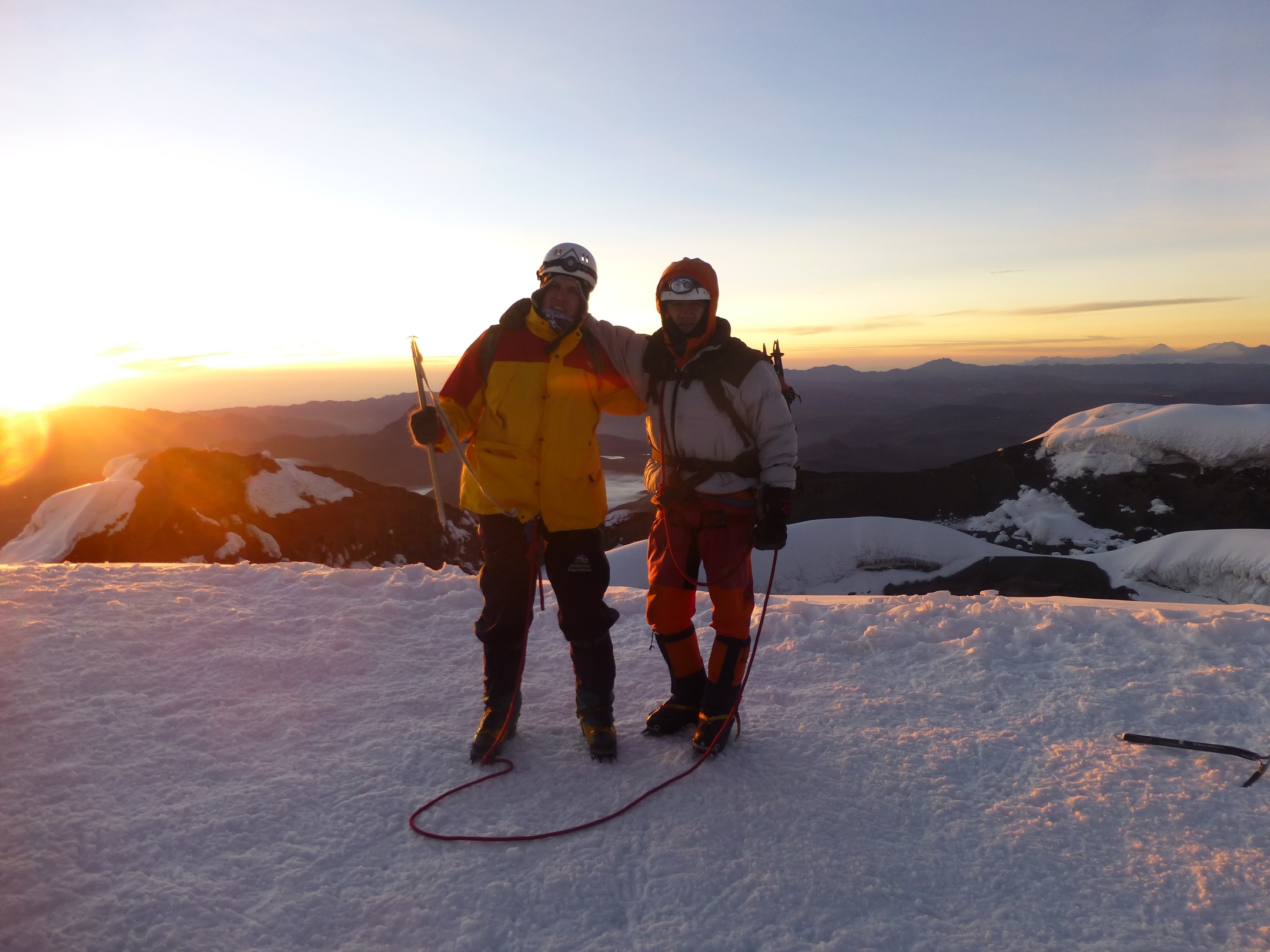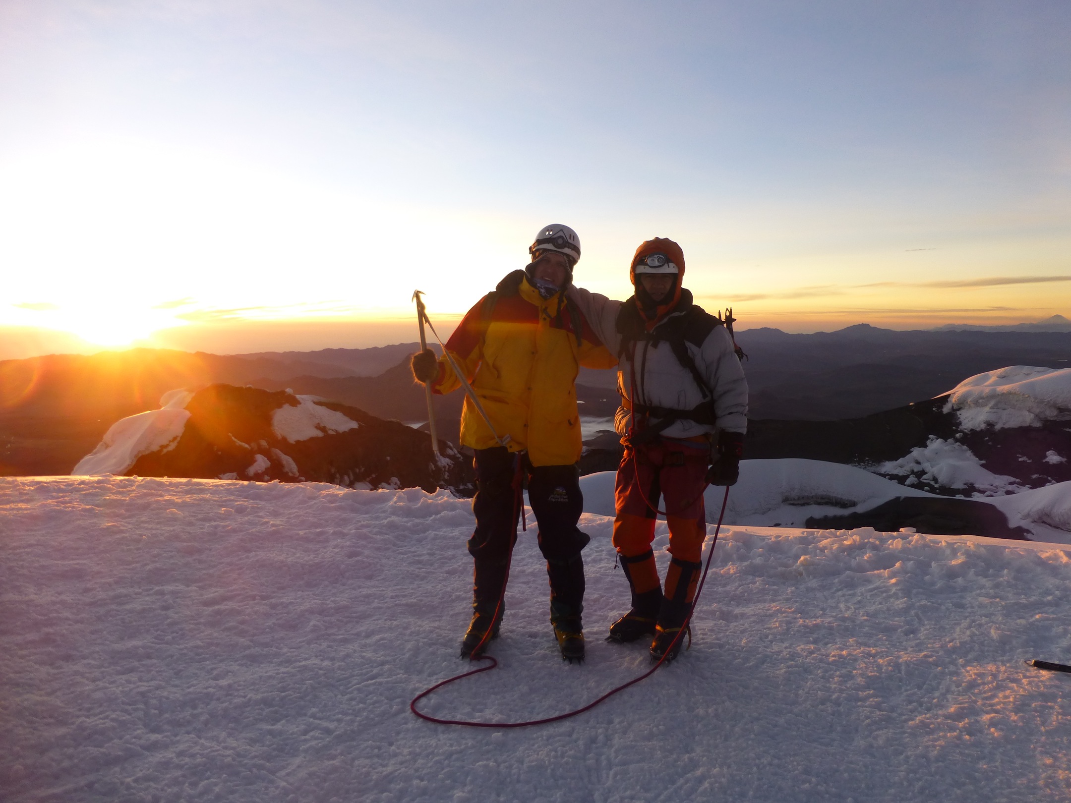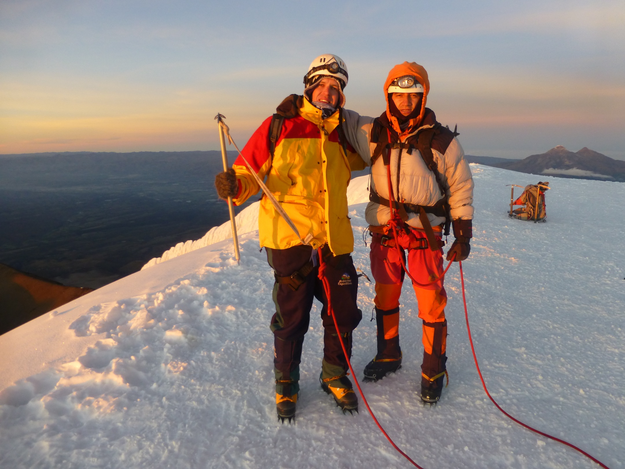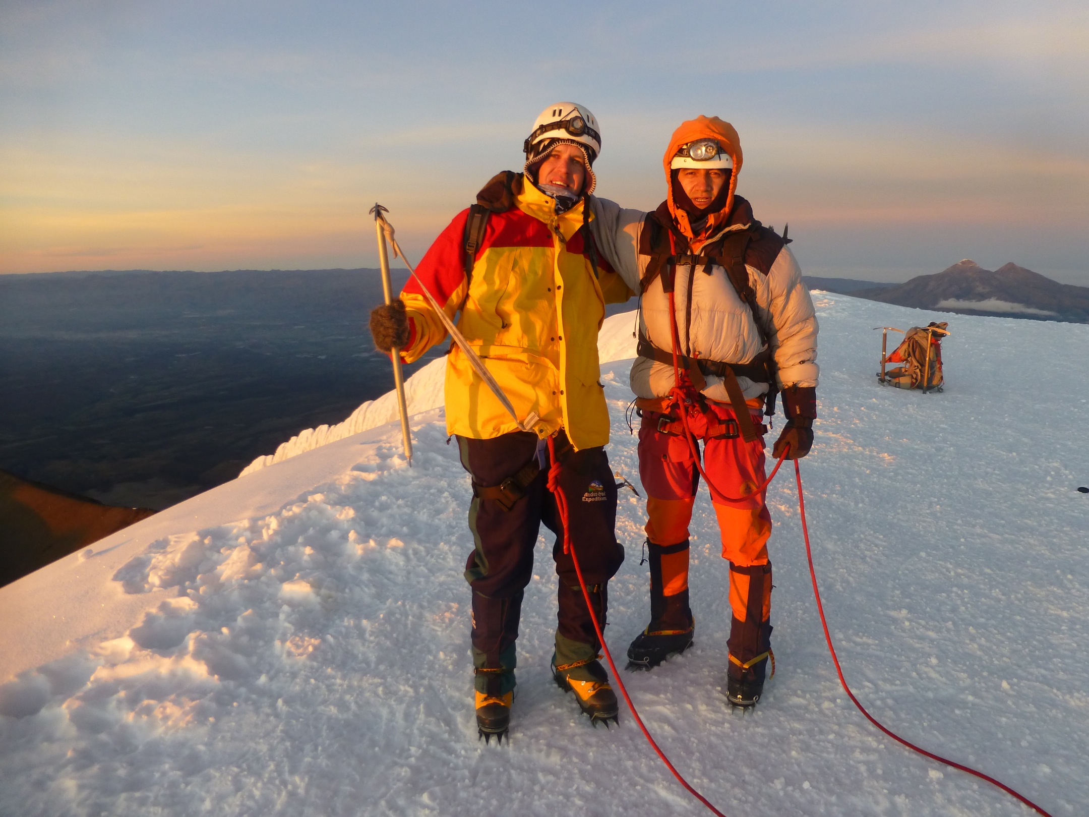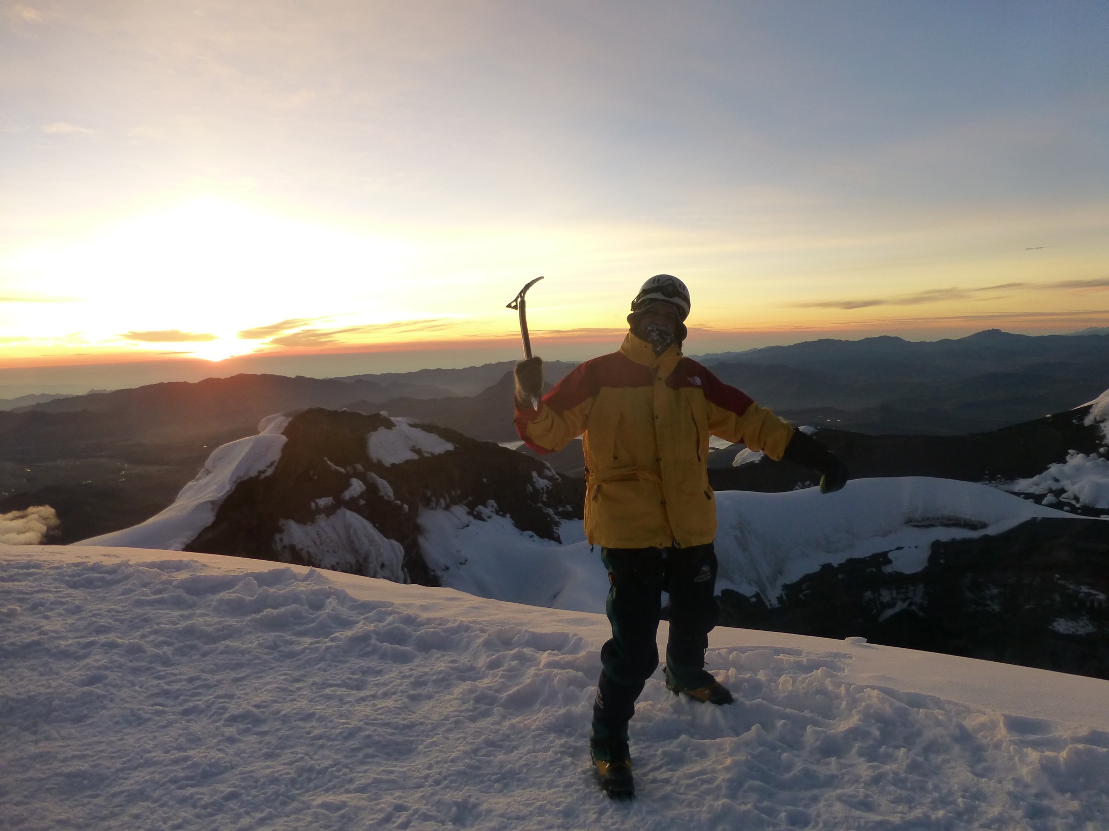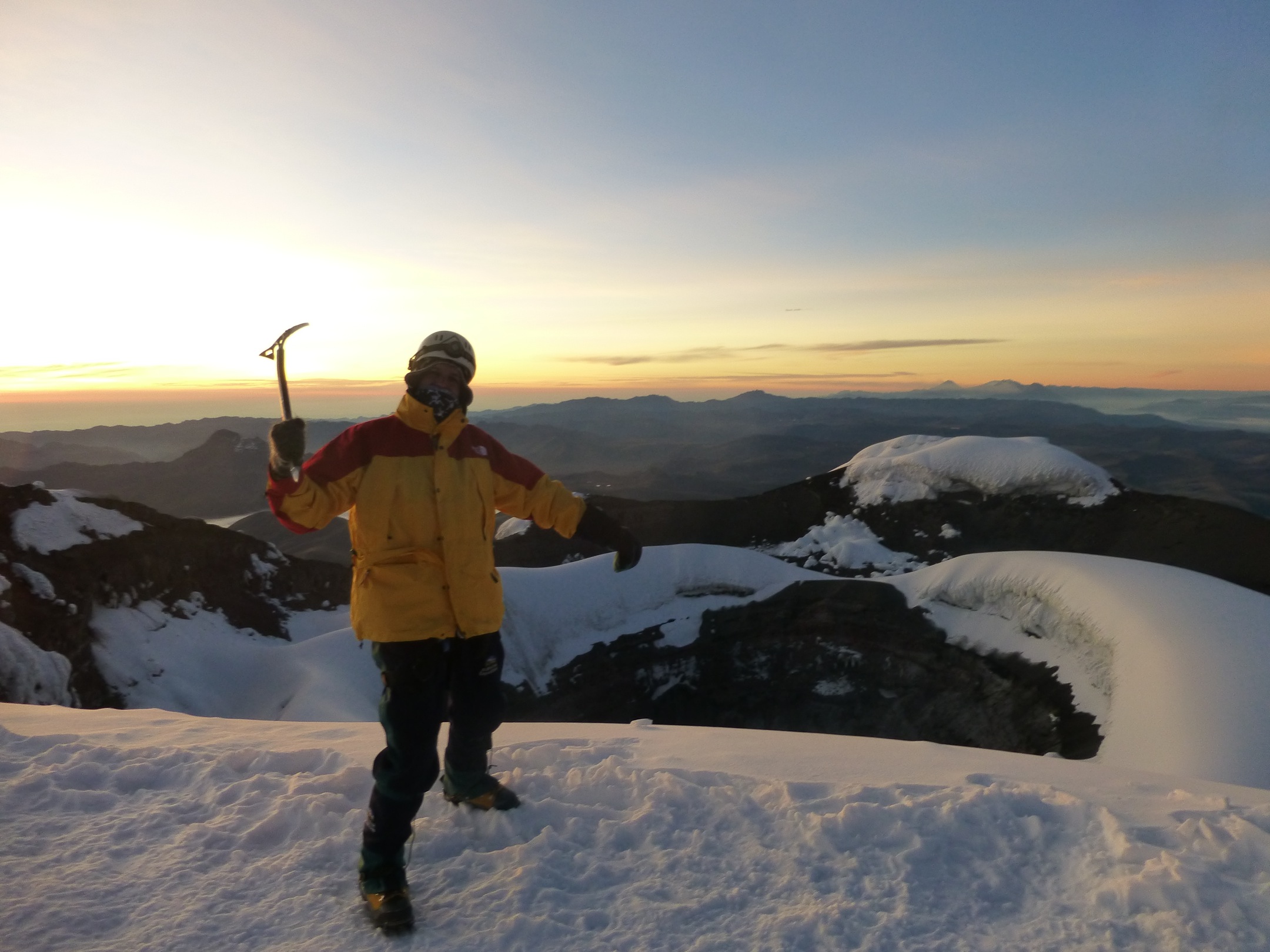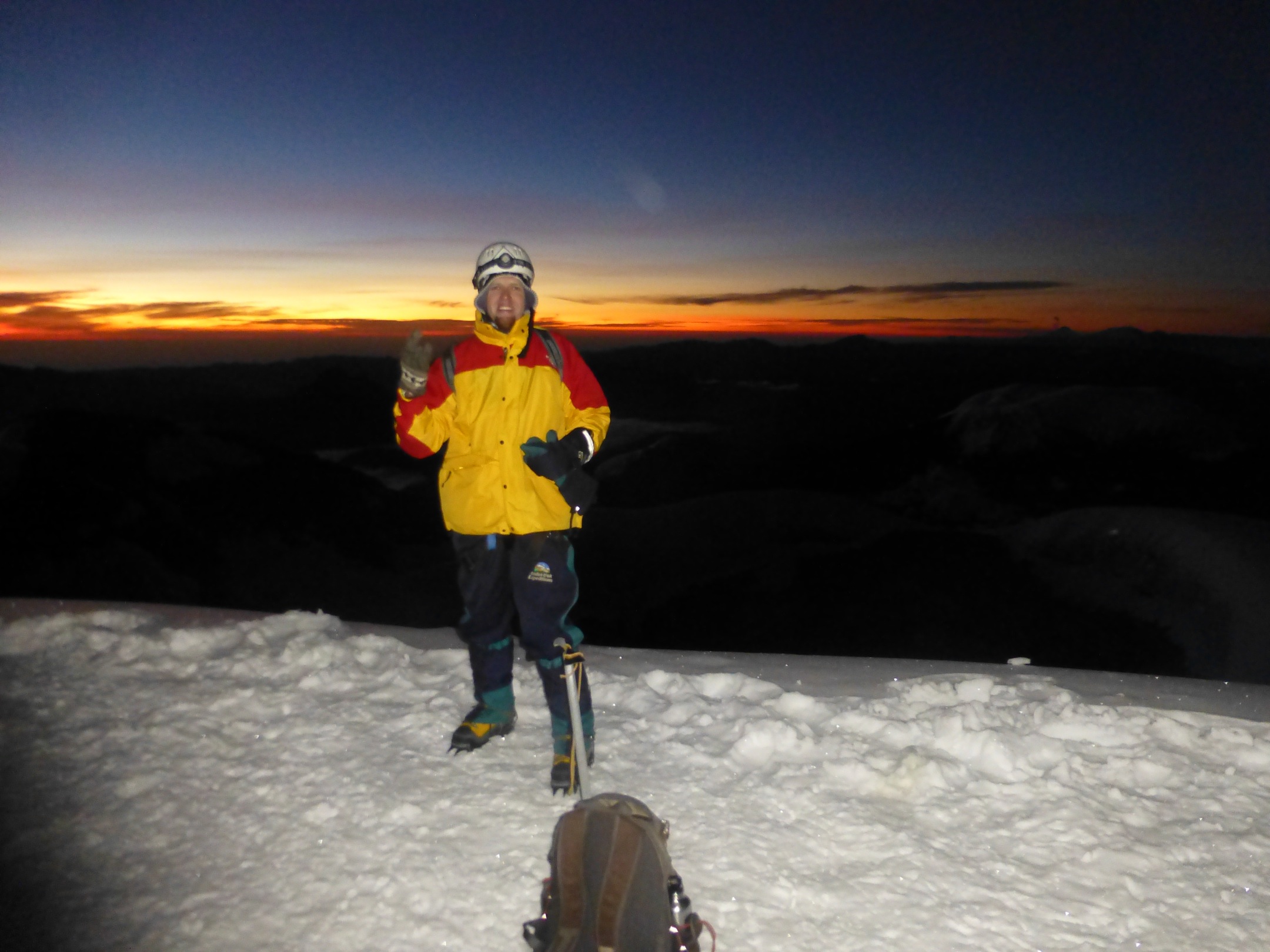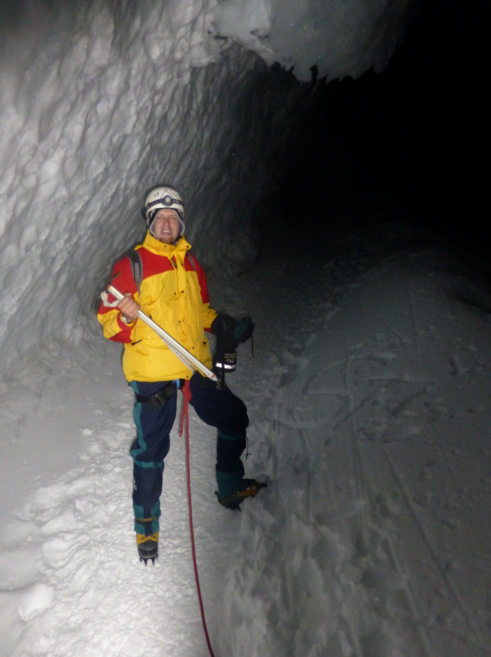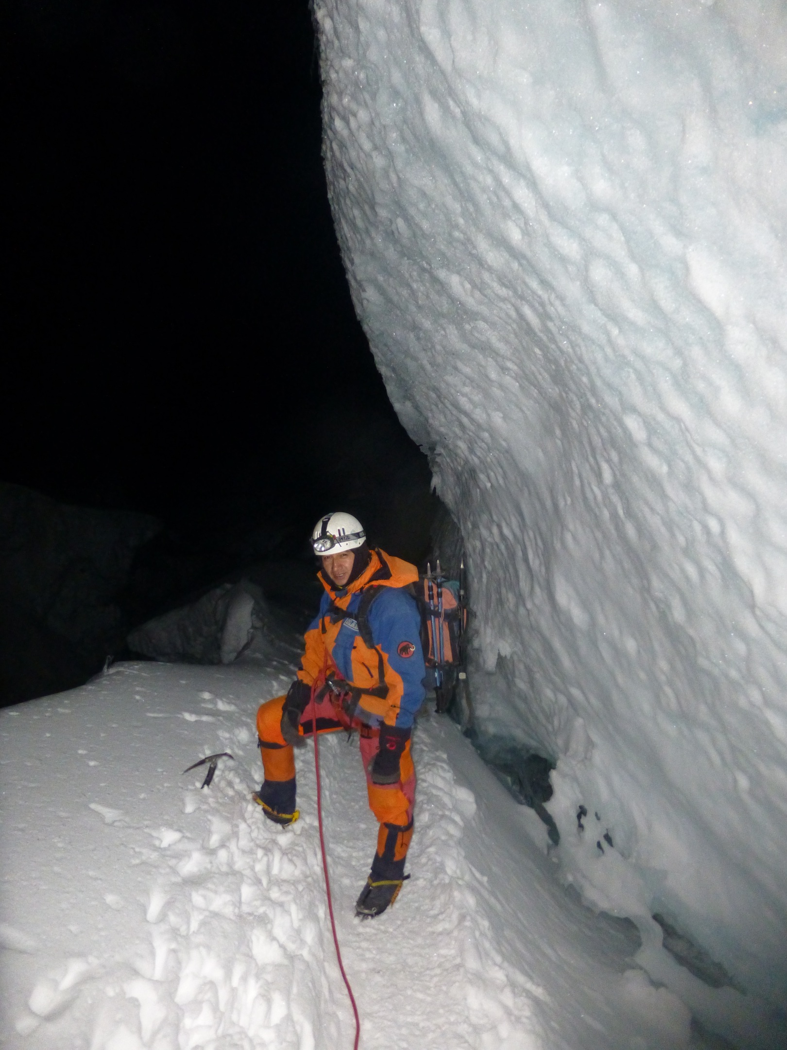
OK. So after Huayna Potosí the next big f***** mountain. I’m glad I had a really good guide (Marcelo jr.) – who also likes my kind of music 🙂
http://www.goandestrek.com/meet_guides.html
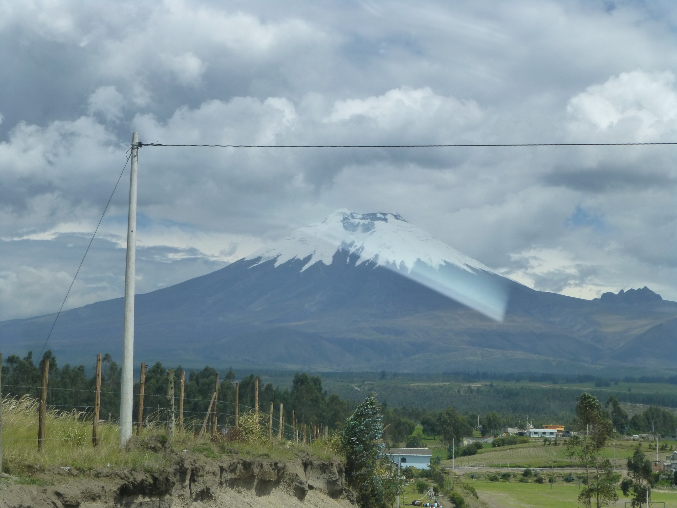
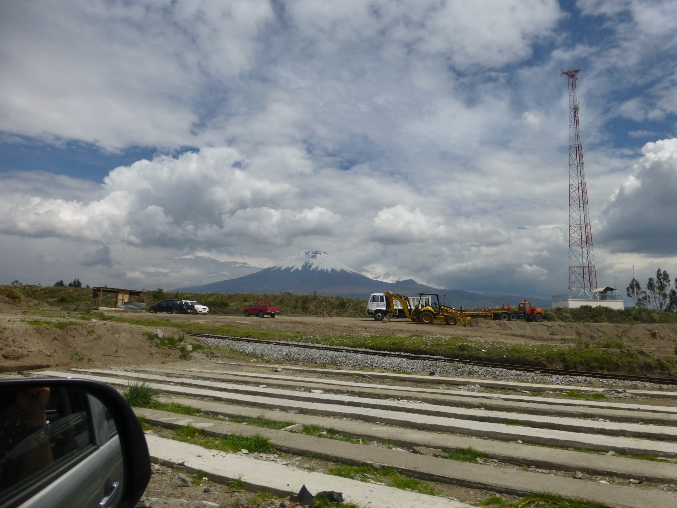
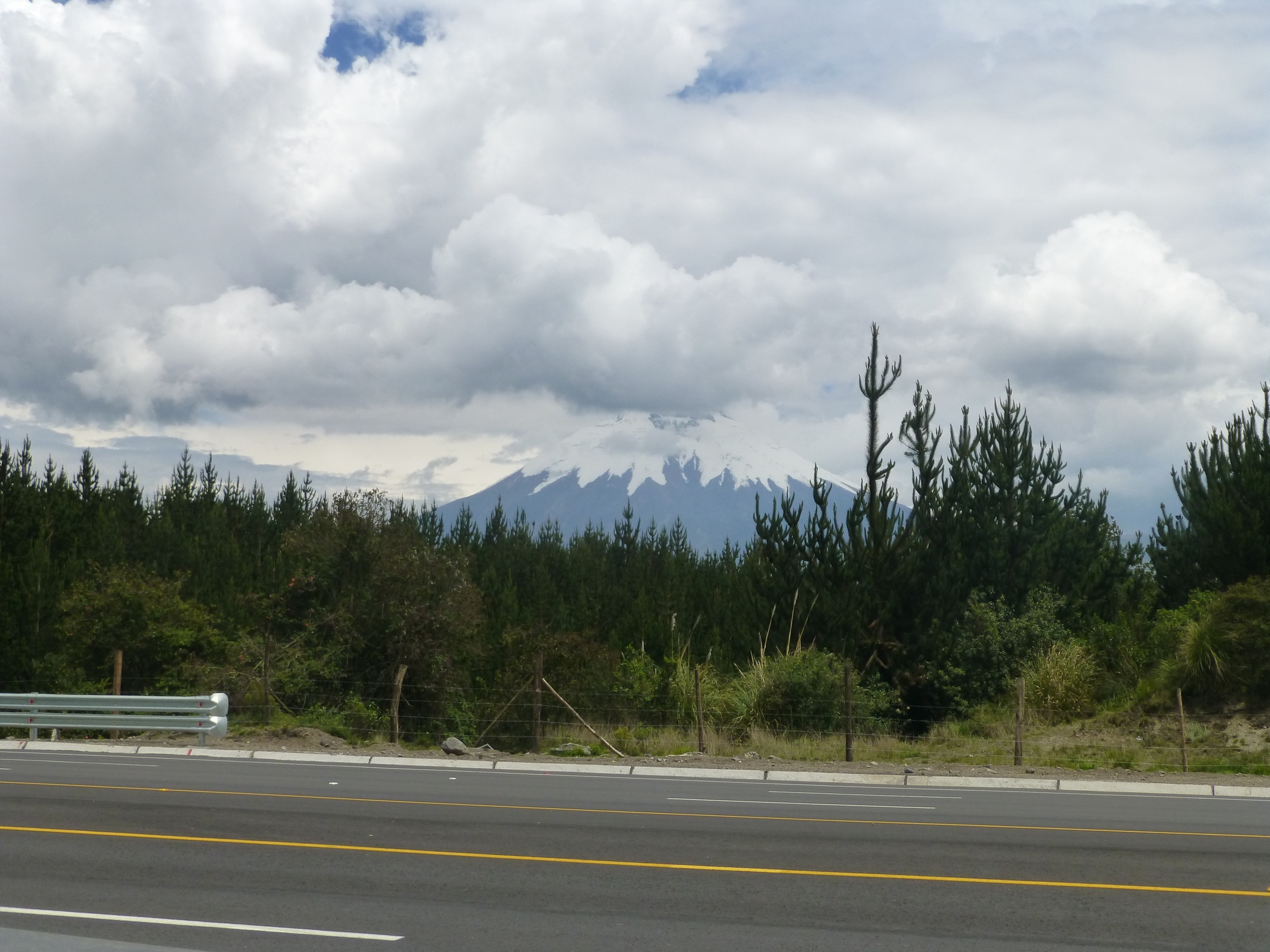
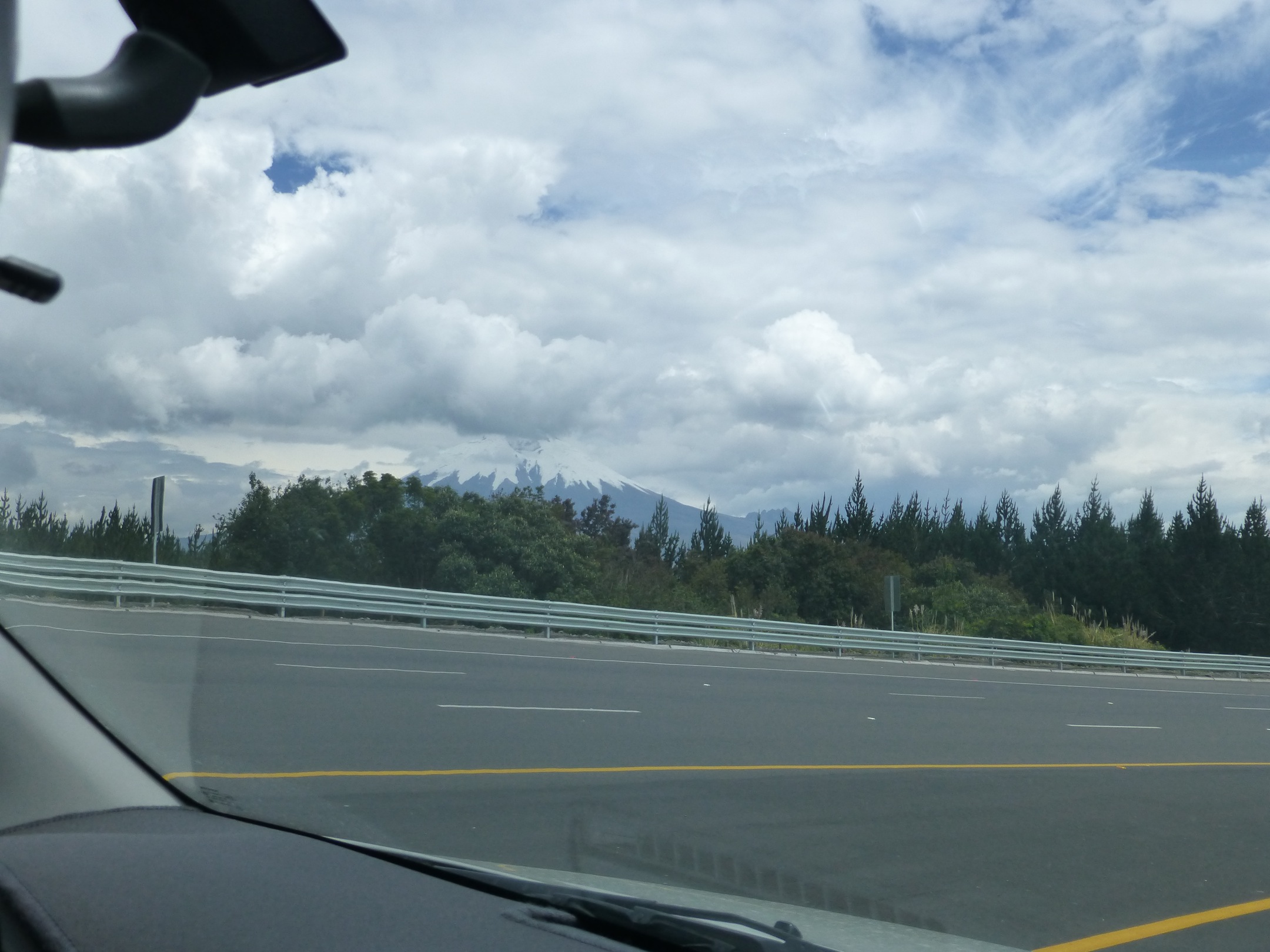
Some info about Cotopaxi:
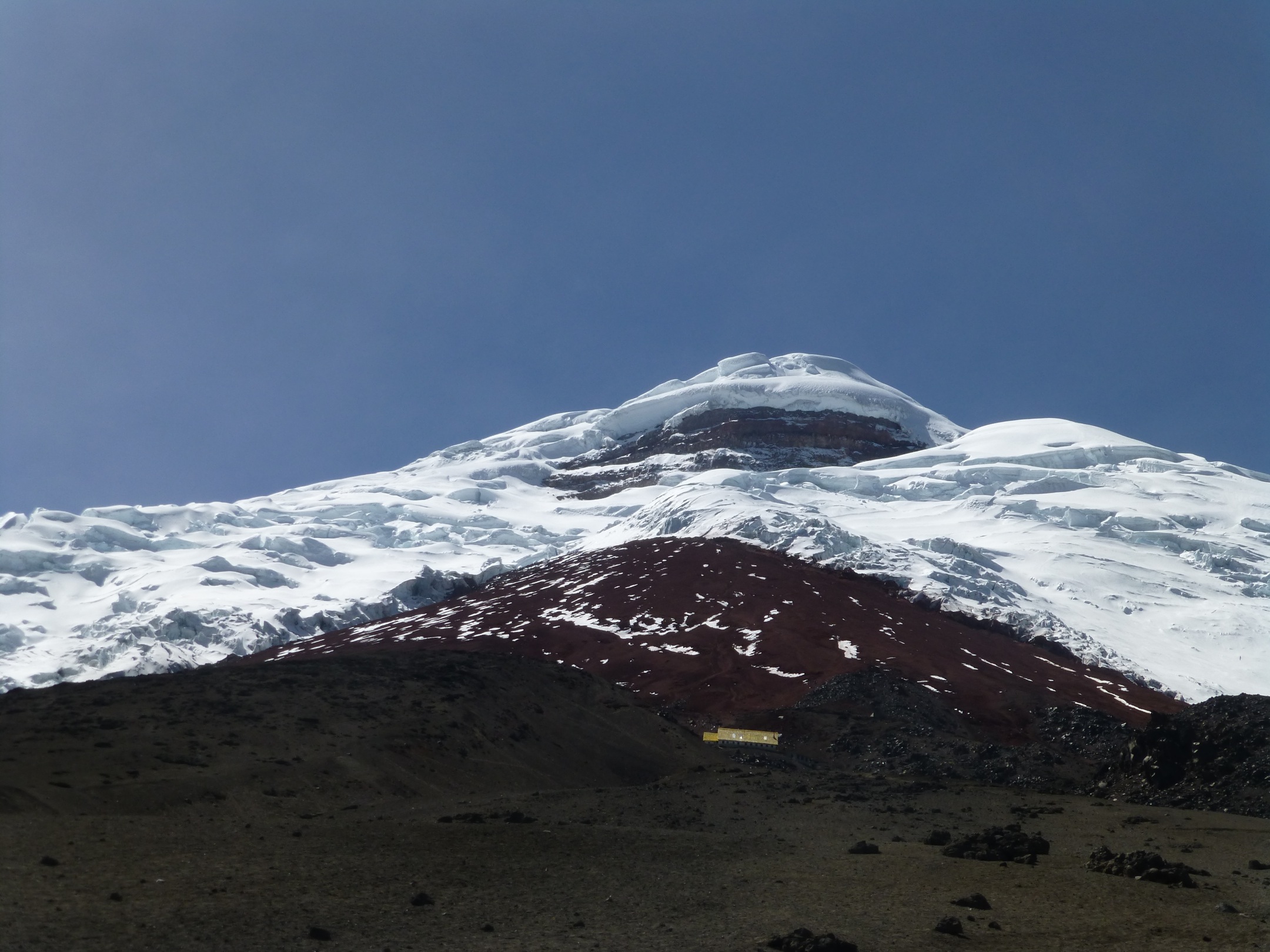
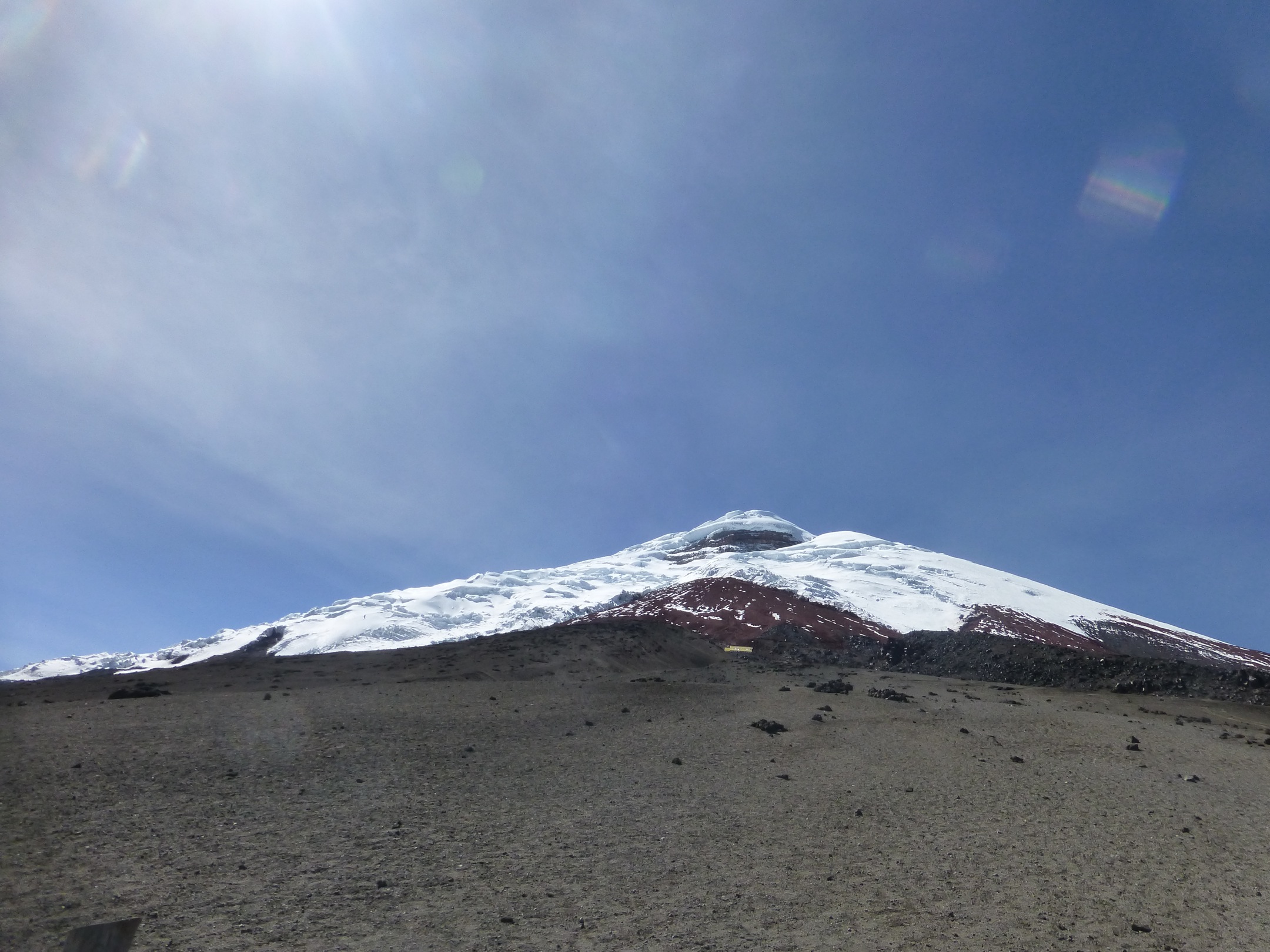
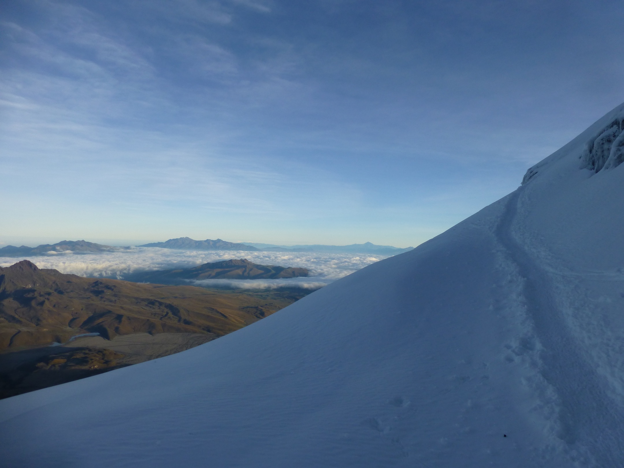
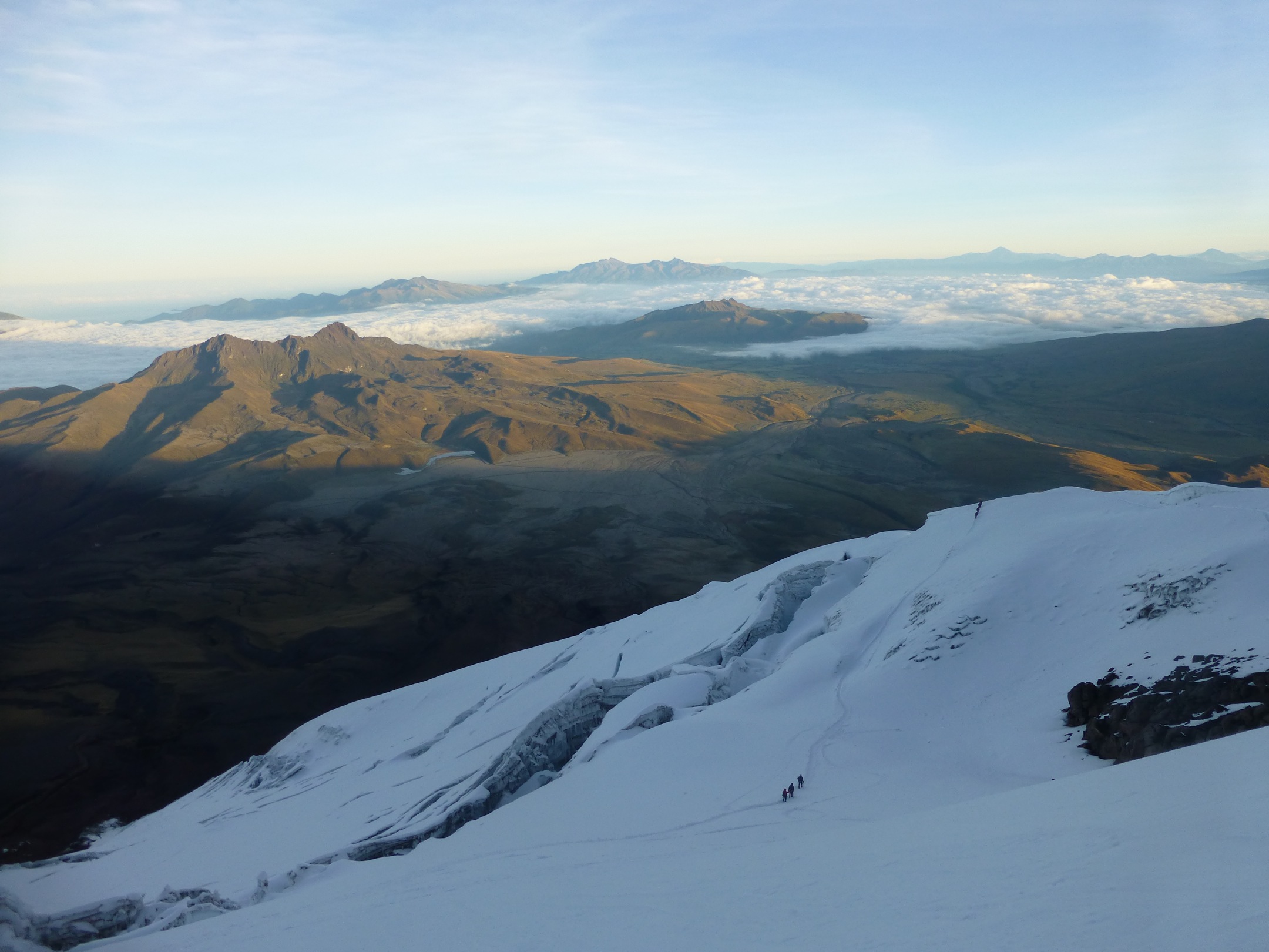
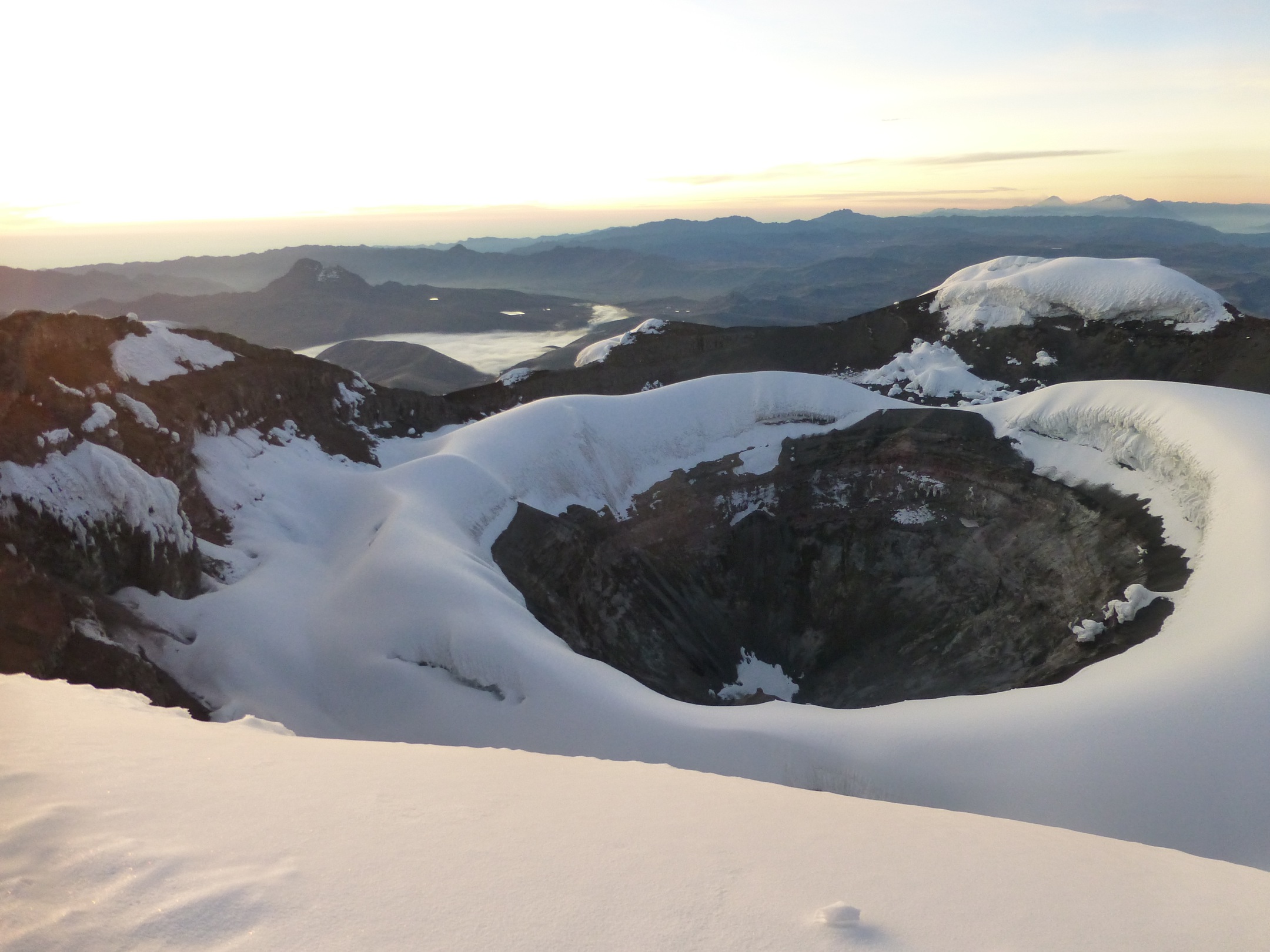
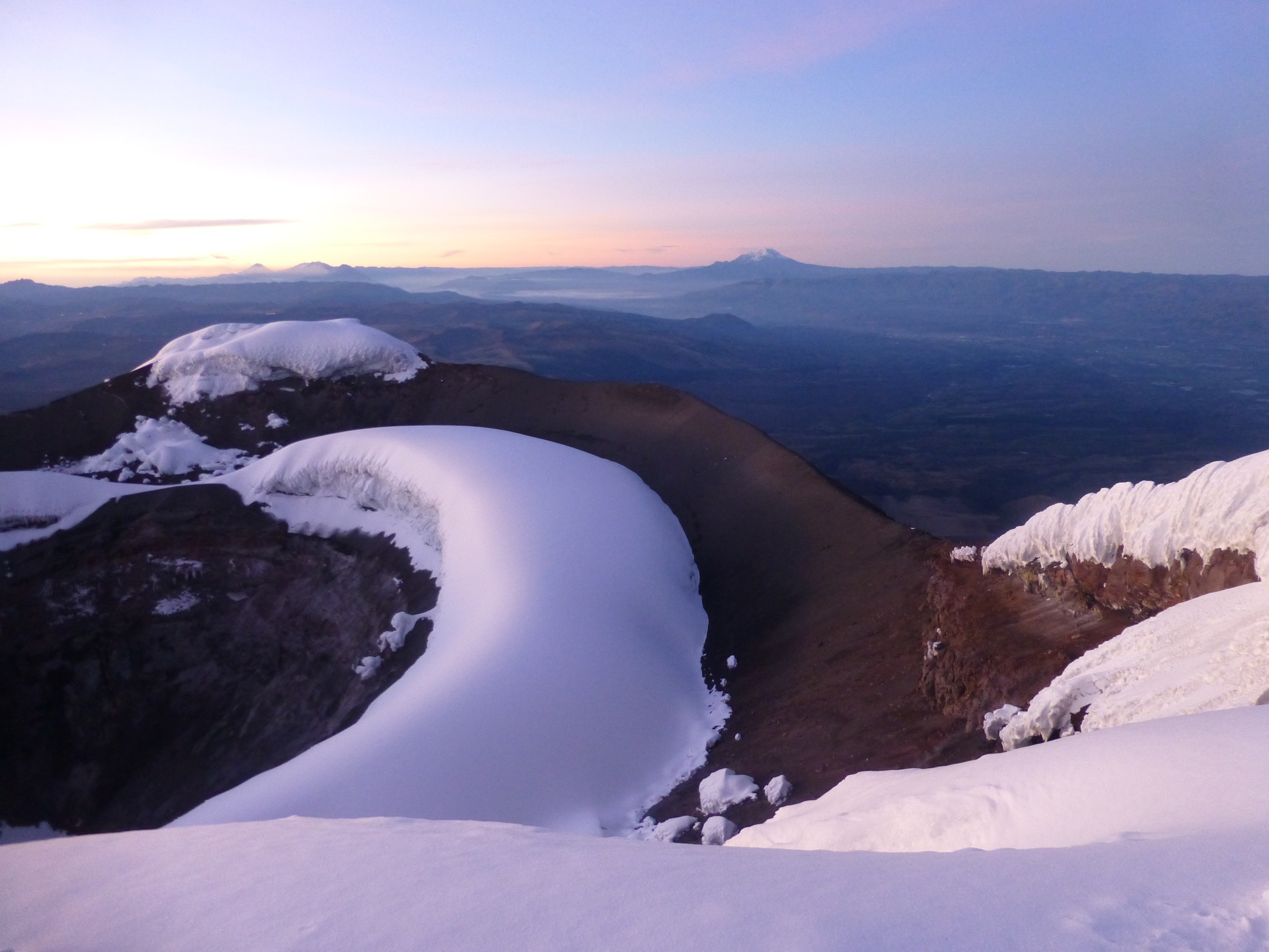
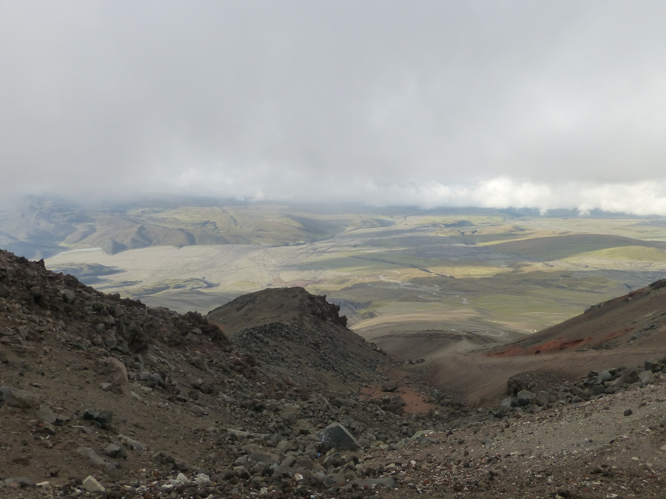
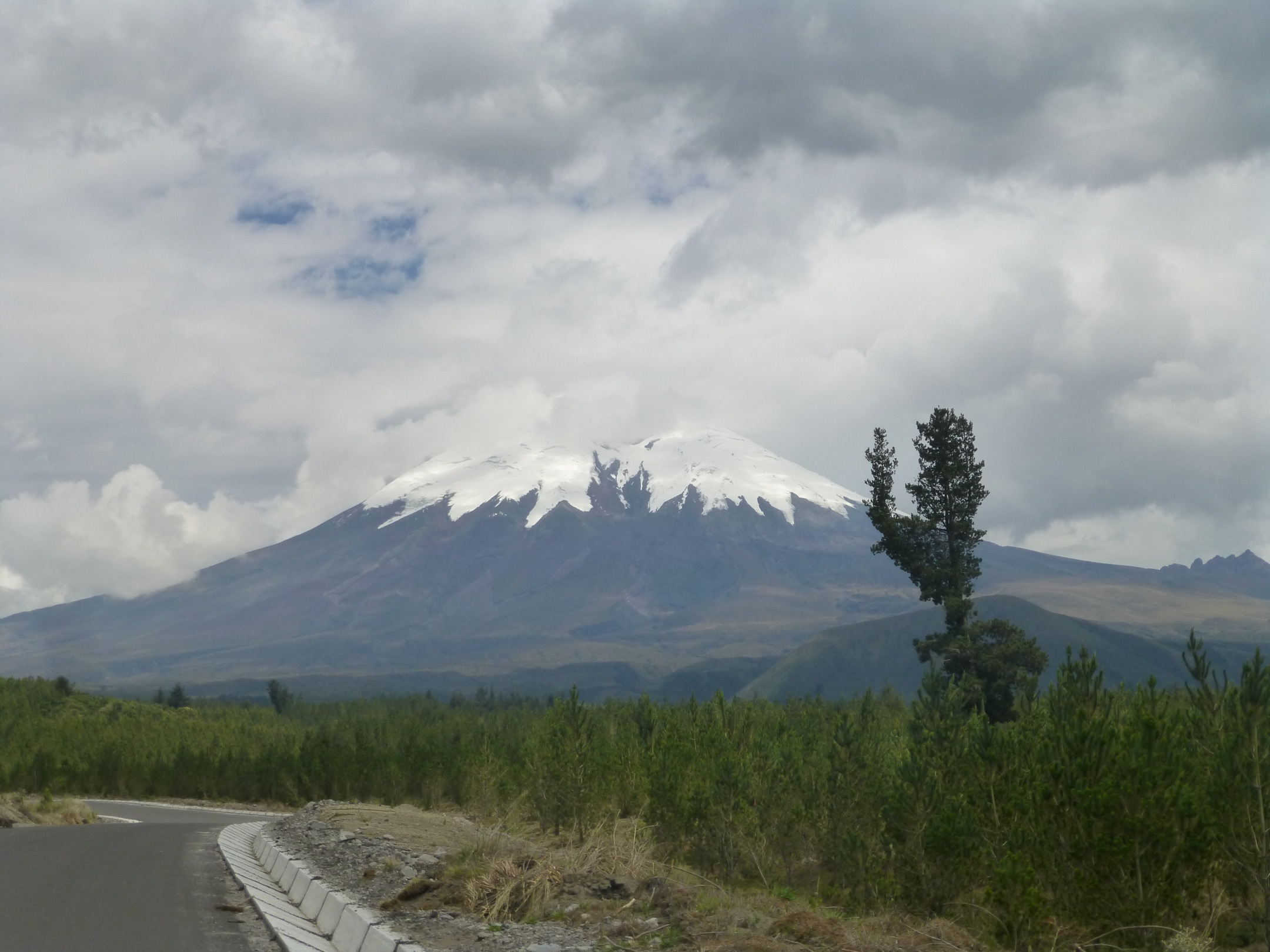
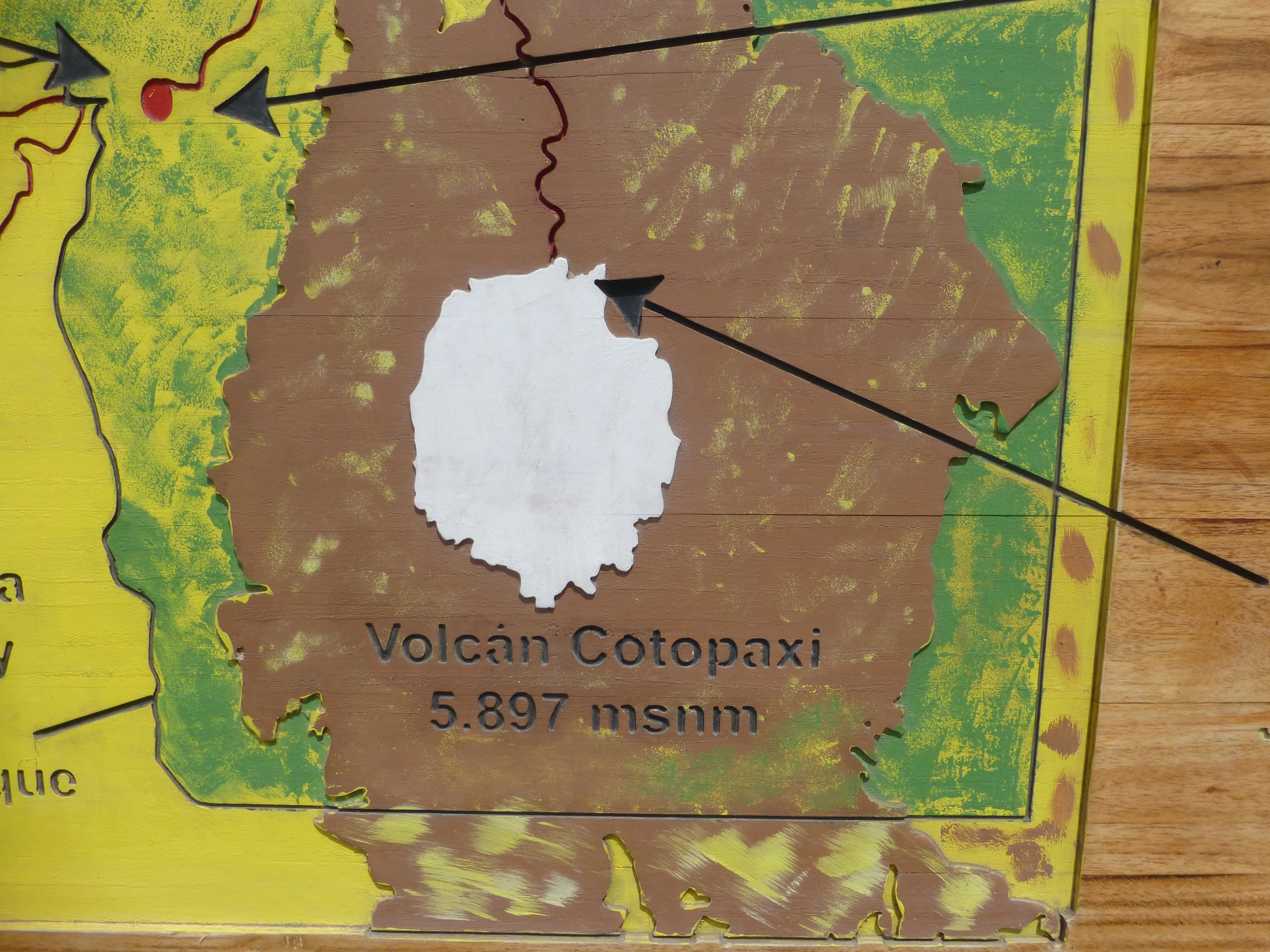
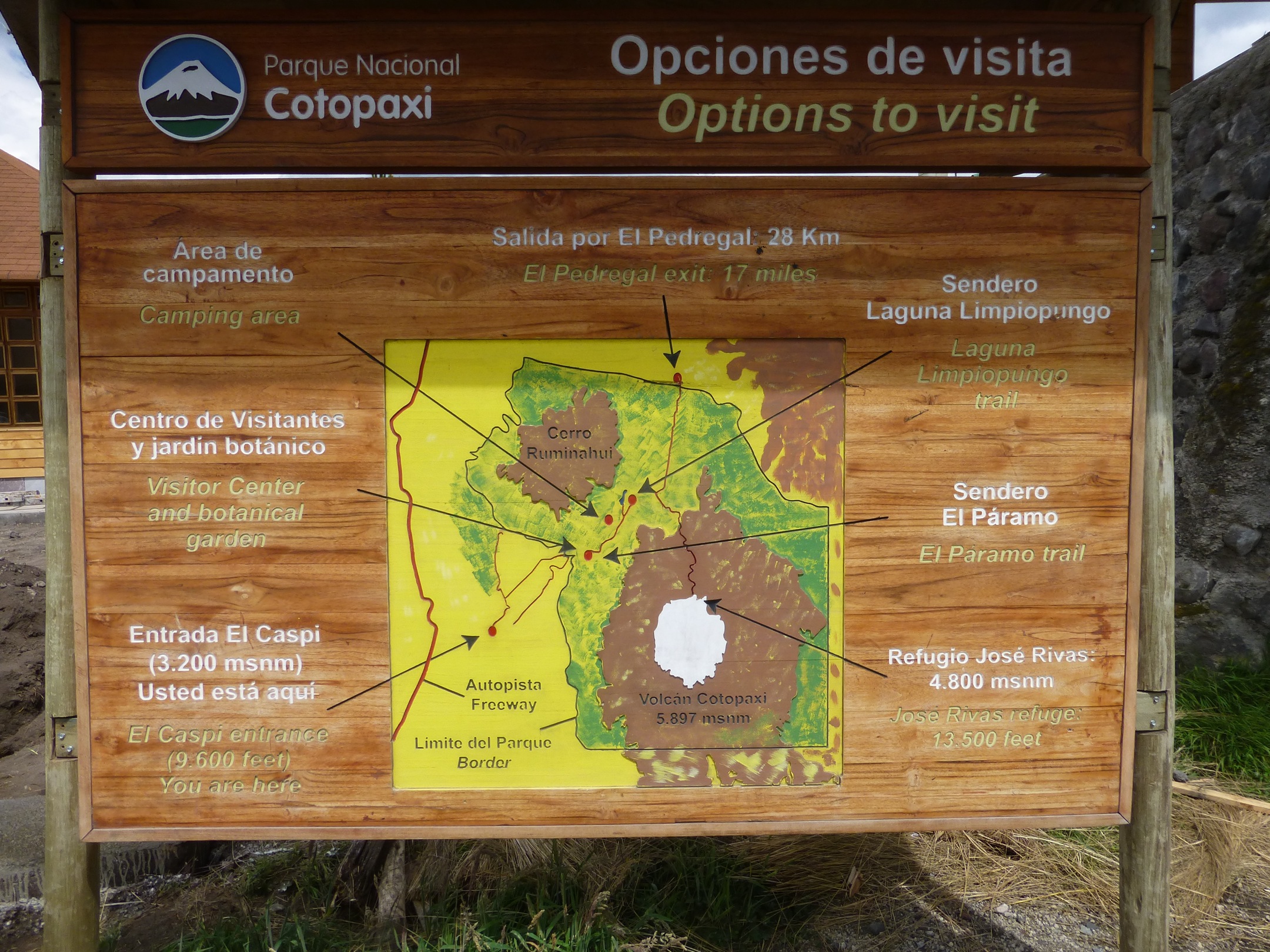
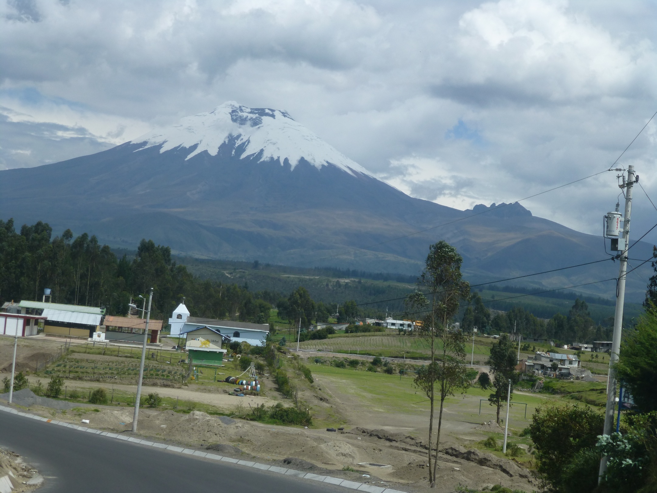
Cotopaxi is a stratovolcano in the Andes Mountains, located about 28 km (17 mi) south of Quito, Ecuador, South America.[3] It is the second highest summit in the country, reaching a height of 5,897 m (19,347 ft)
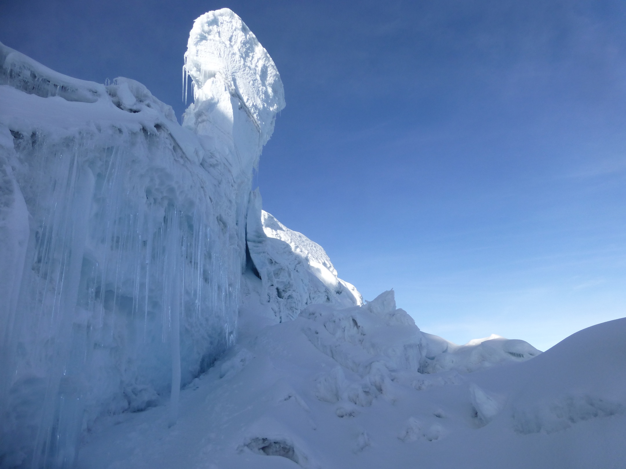
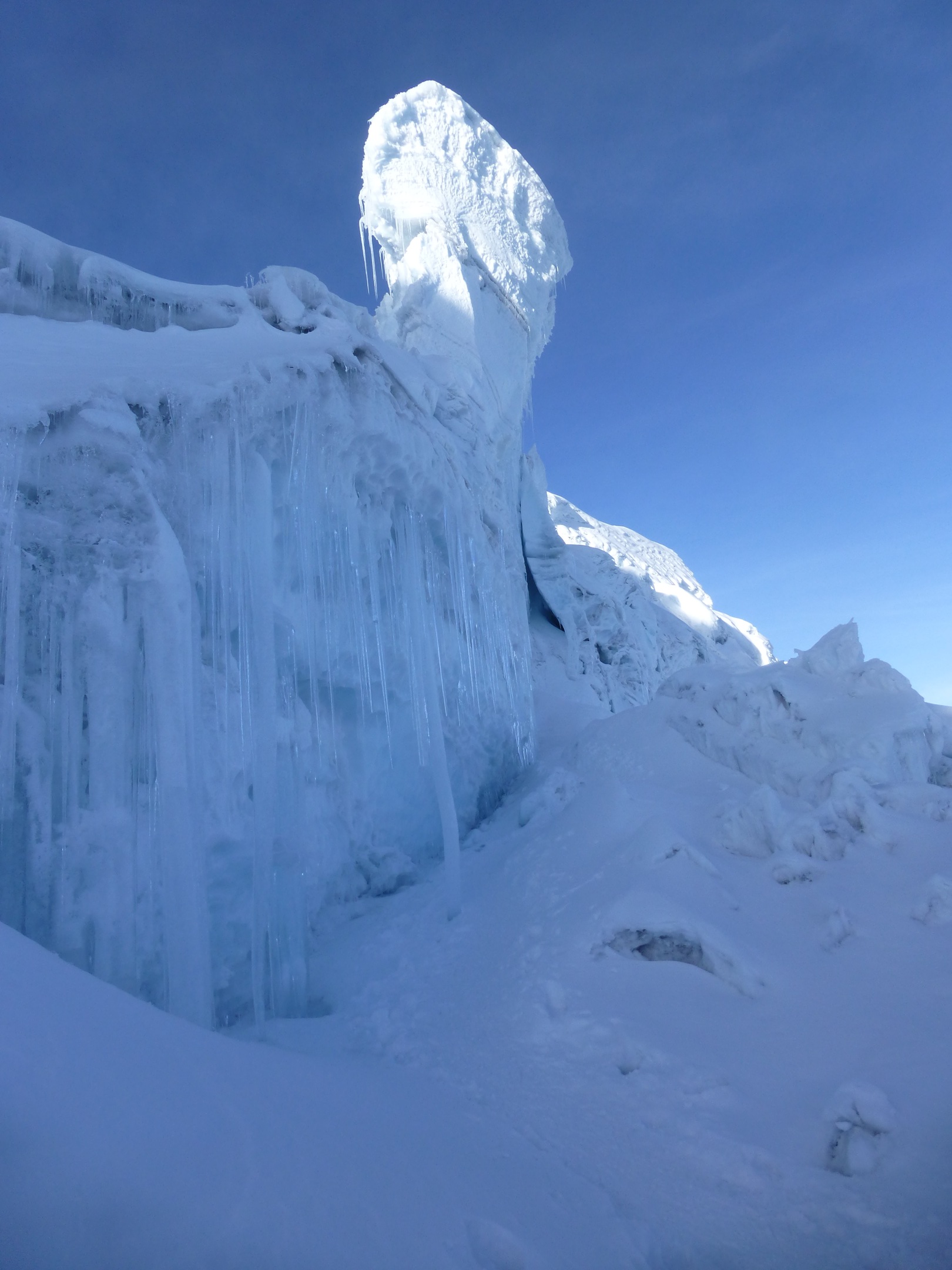
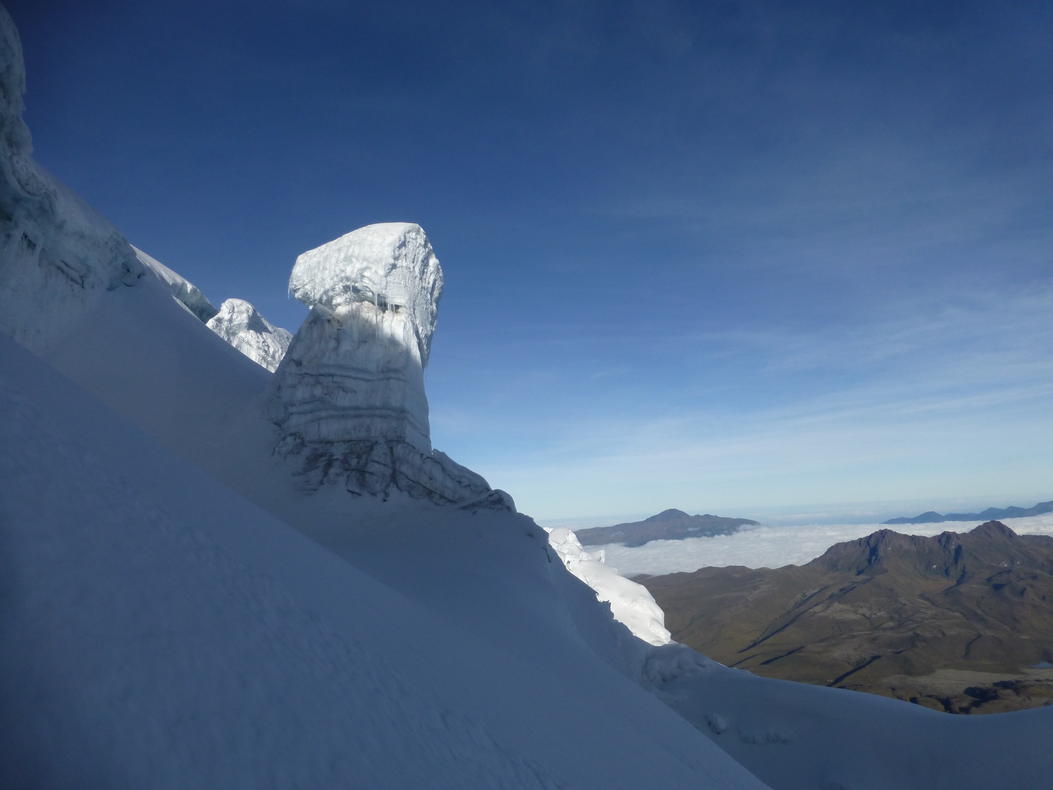
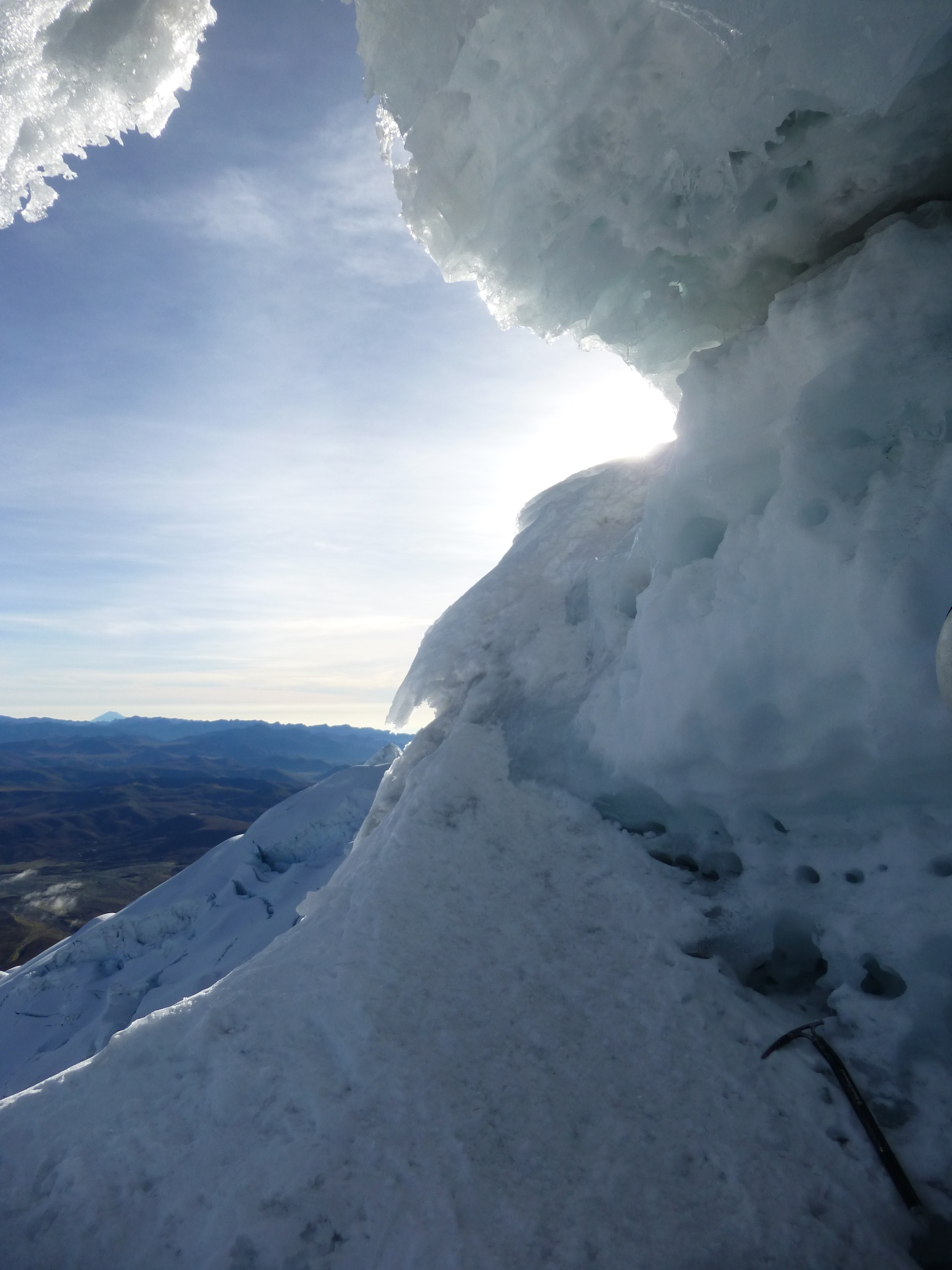
Cotopaxi has an almost symmetrical cone that rises from a highland plain of about 3,800 metres (12,500 ft), with a width at its base of about 23 kilometres (14 mi).[4] It has one of the few equatorial glaciers in the world, which starts at the height of 5,000 metres (16,400 ft). The mountain is clearly visible on the skyline from Quito.[3] It is part of the chain of volcanoes around the Pacific plate known as the Pacific Ring of Fire.
http://en.wikipedia.org/wiki/Cotopaxi
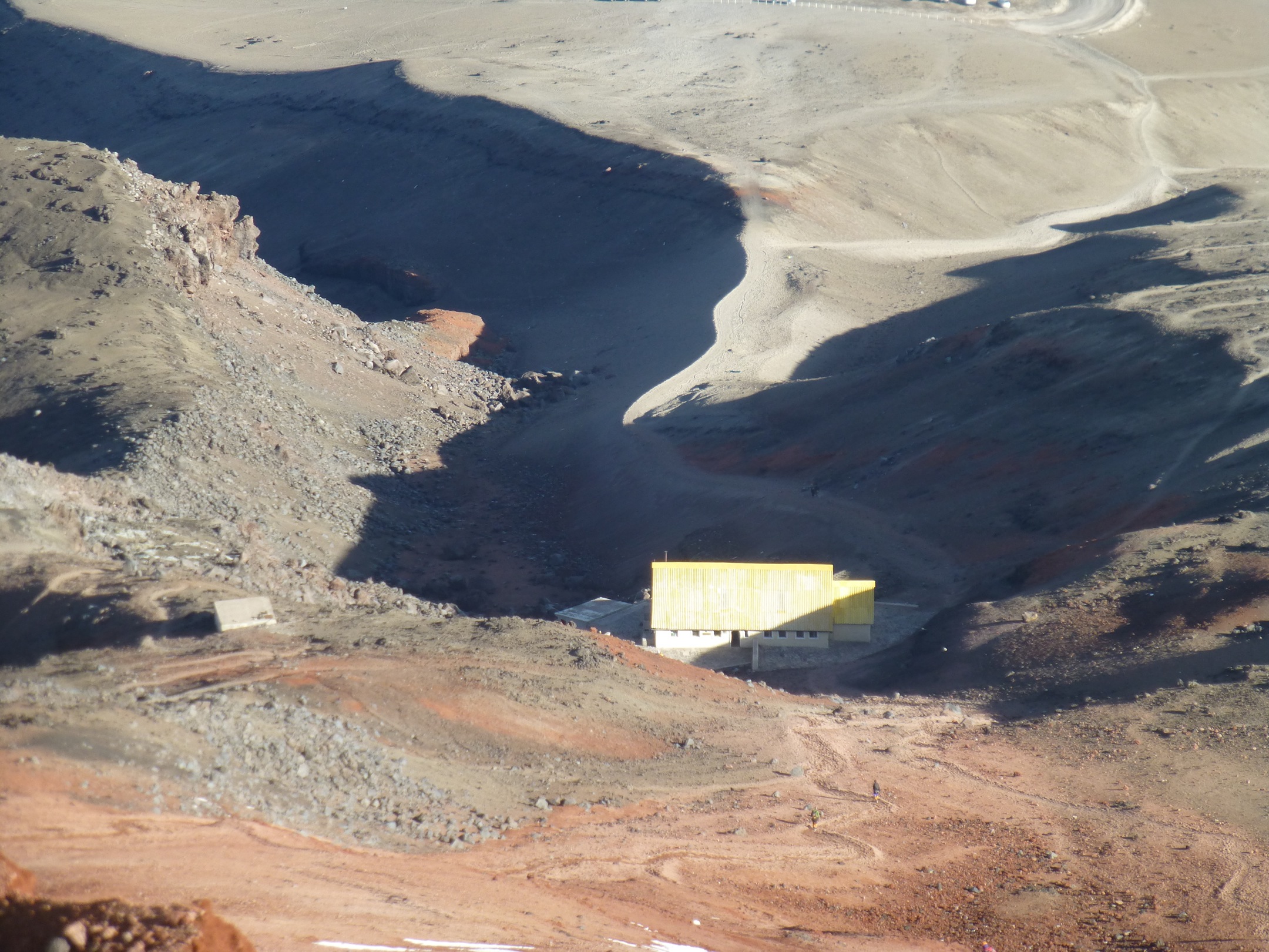
http://www.summitpost.org/cotopaxi/150311 (also shows the route)
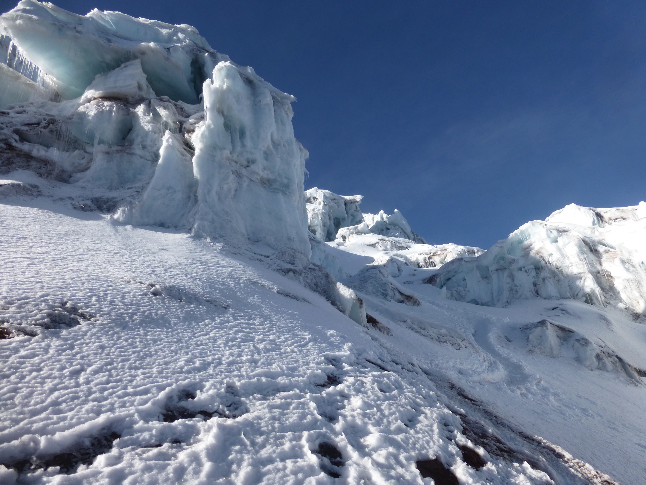
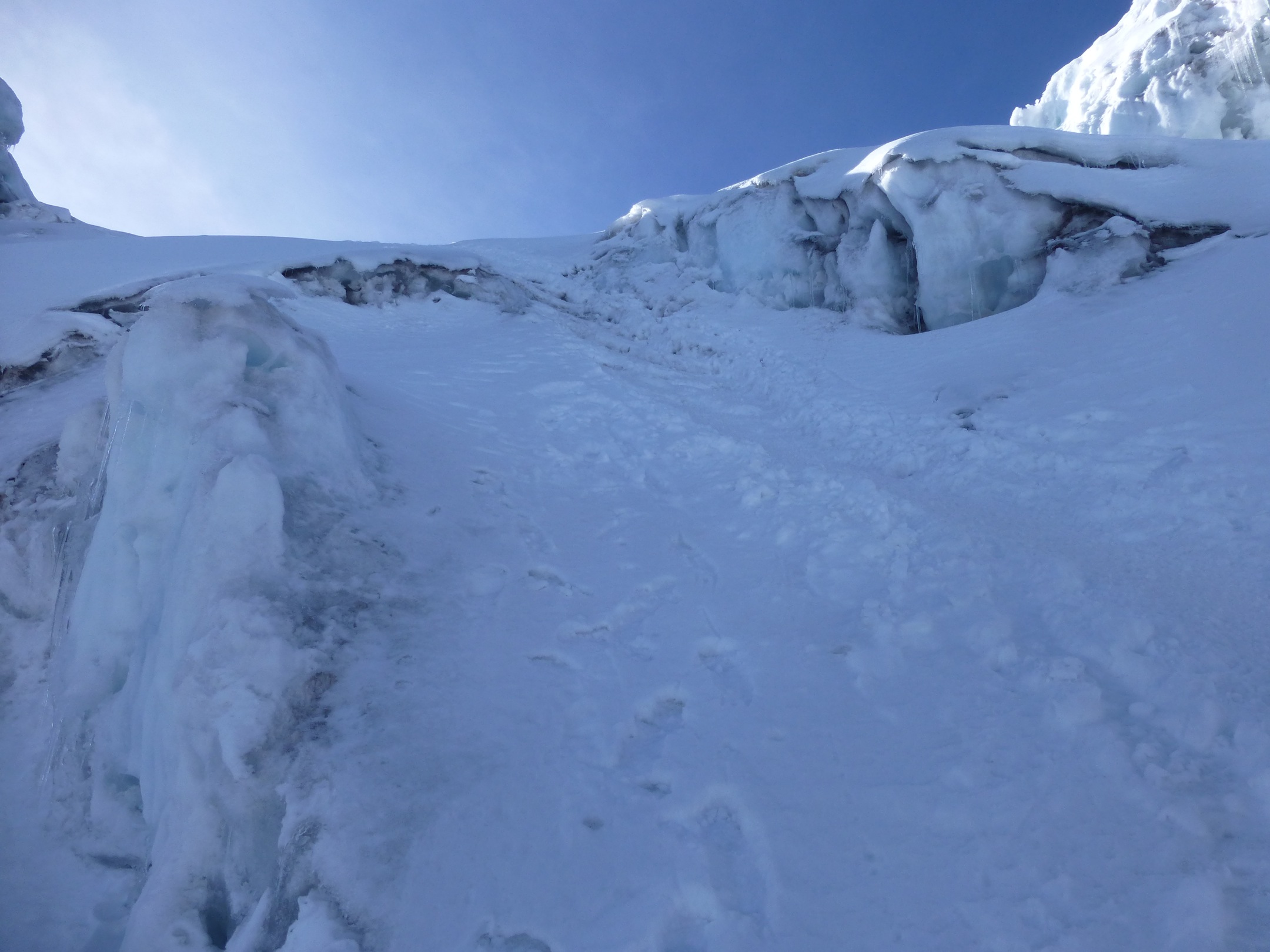
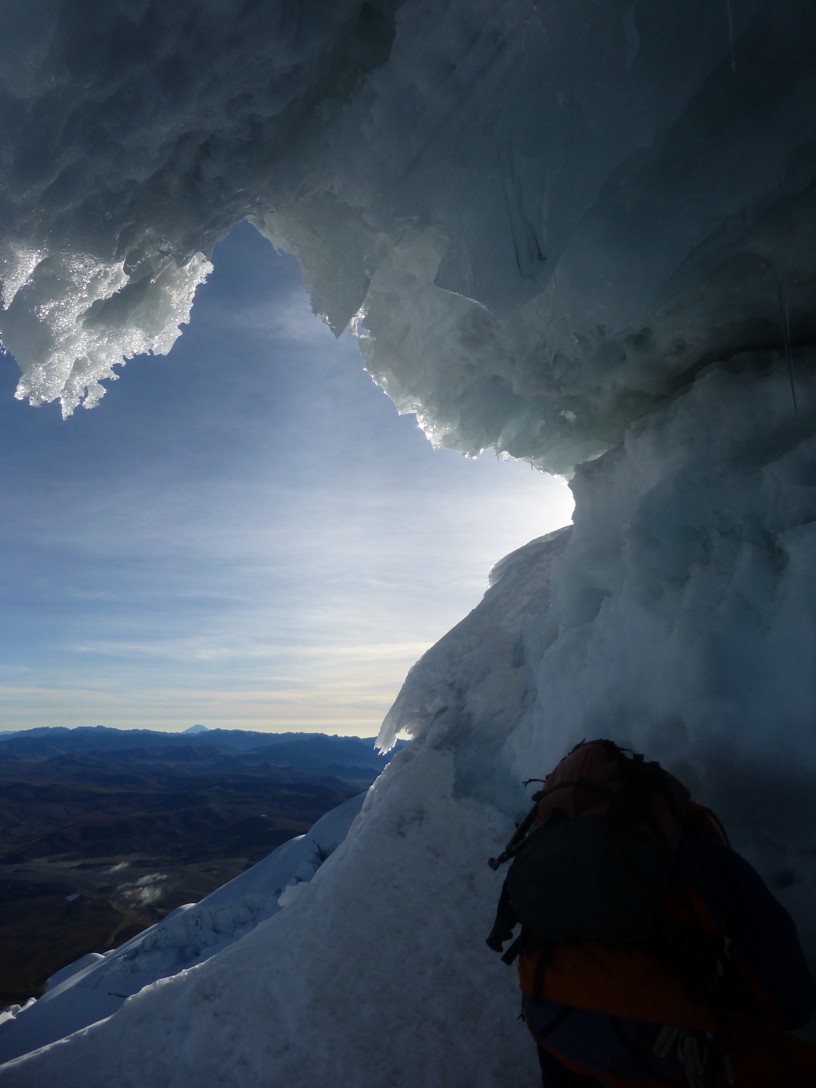
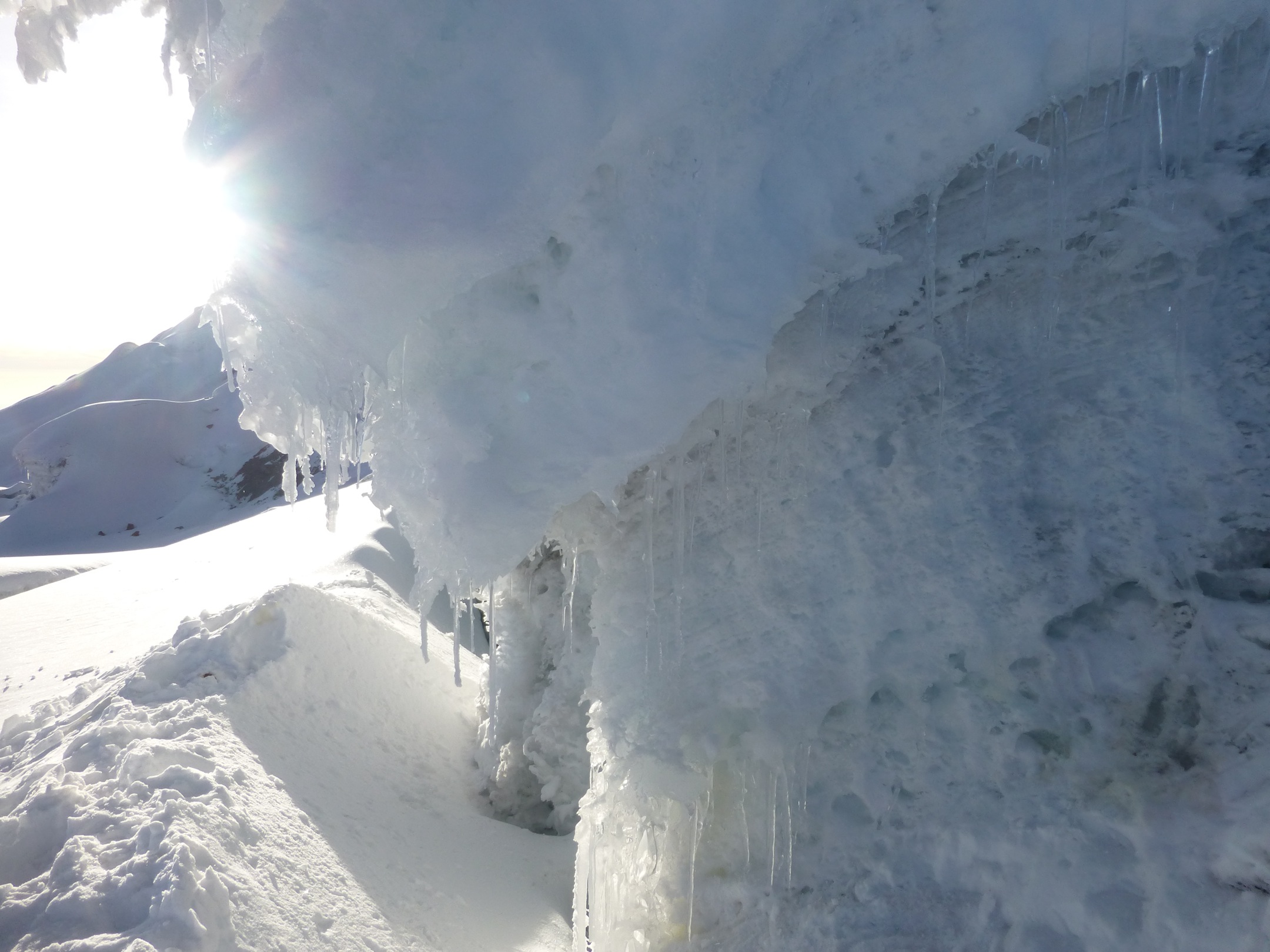
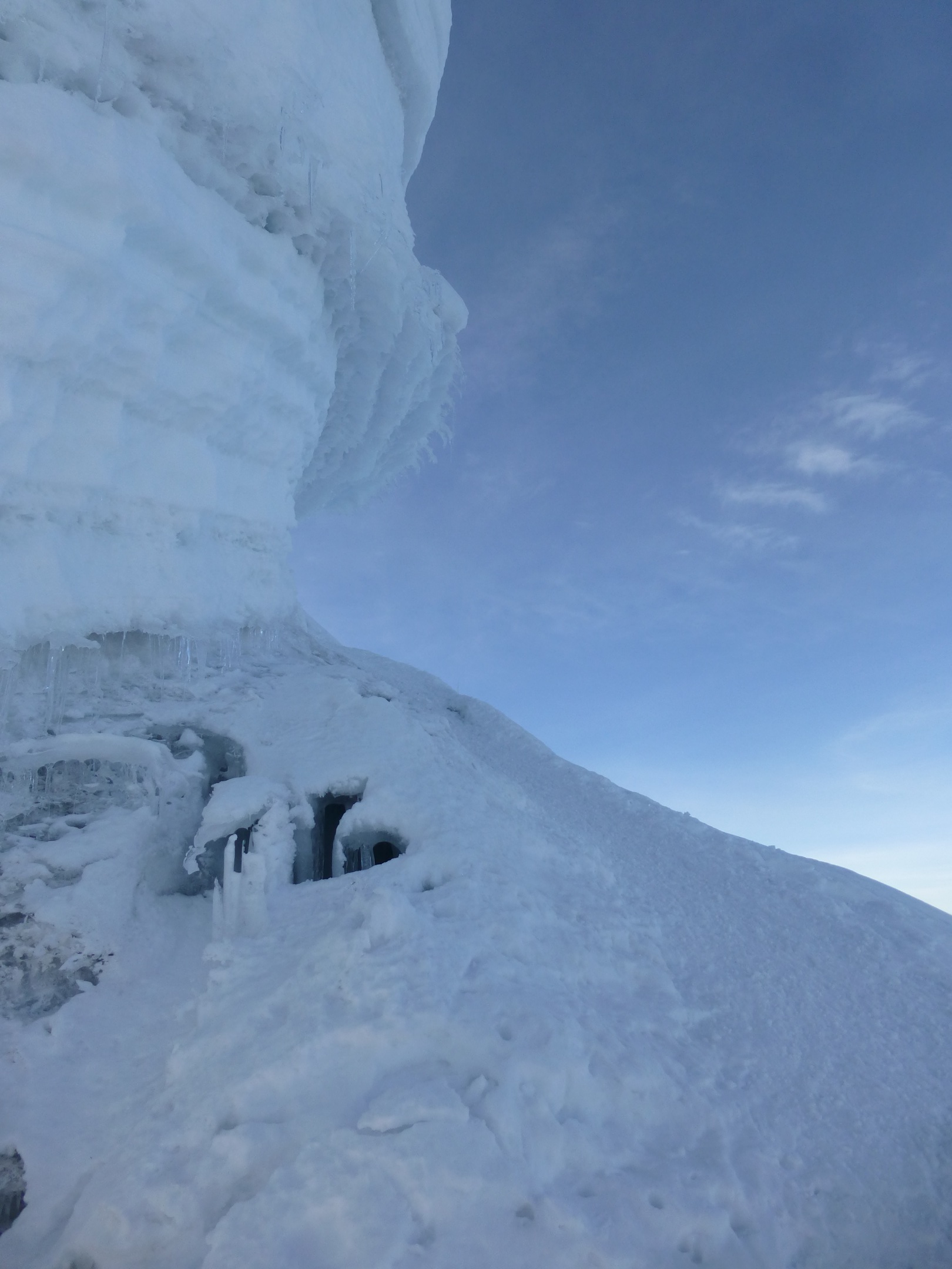
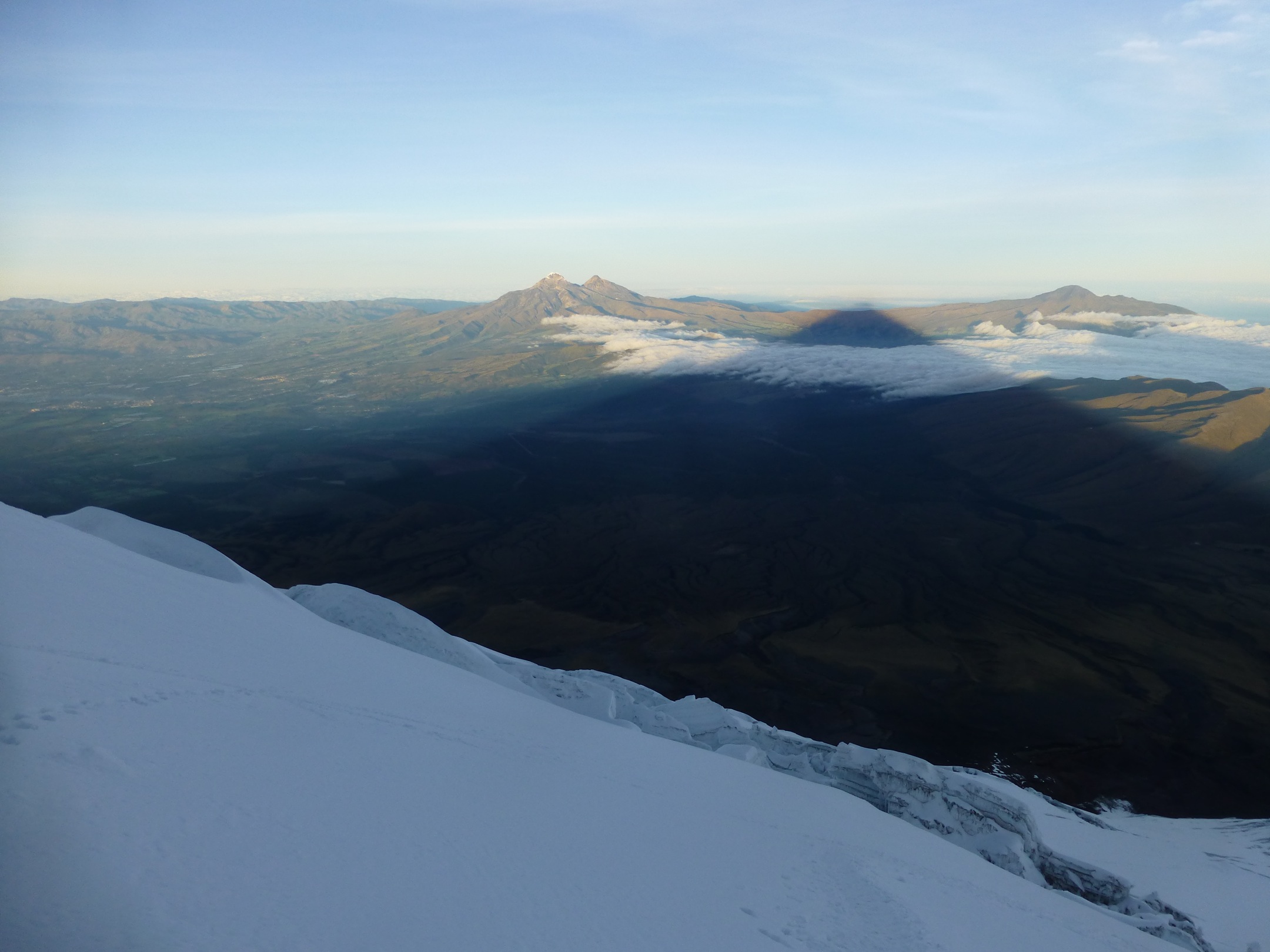
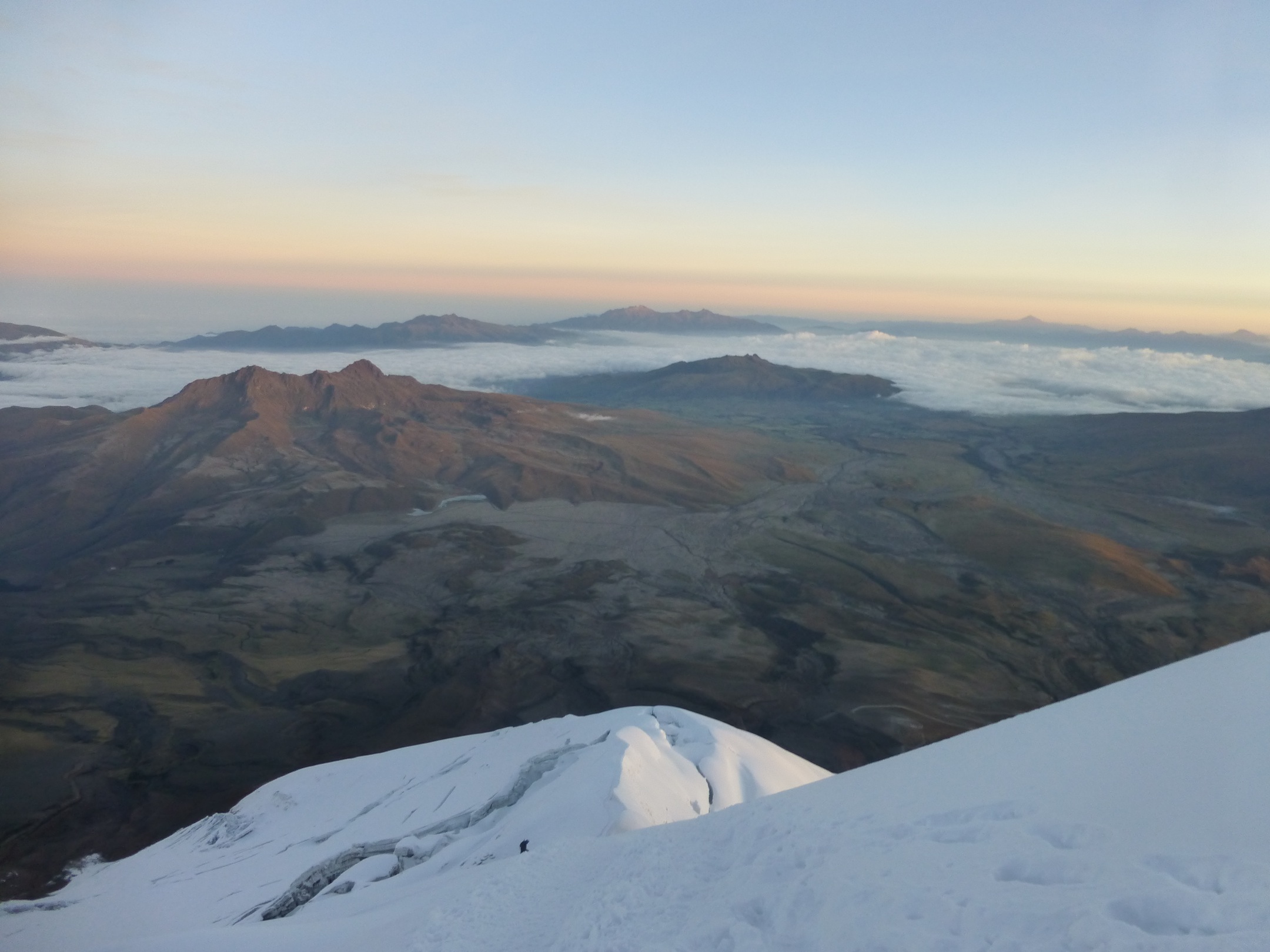
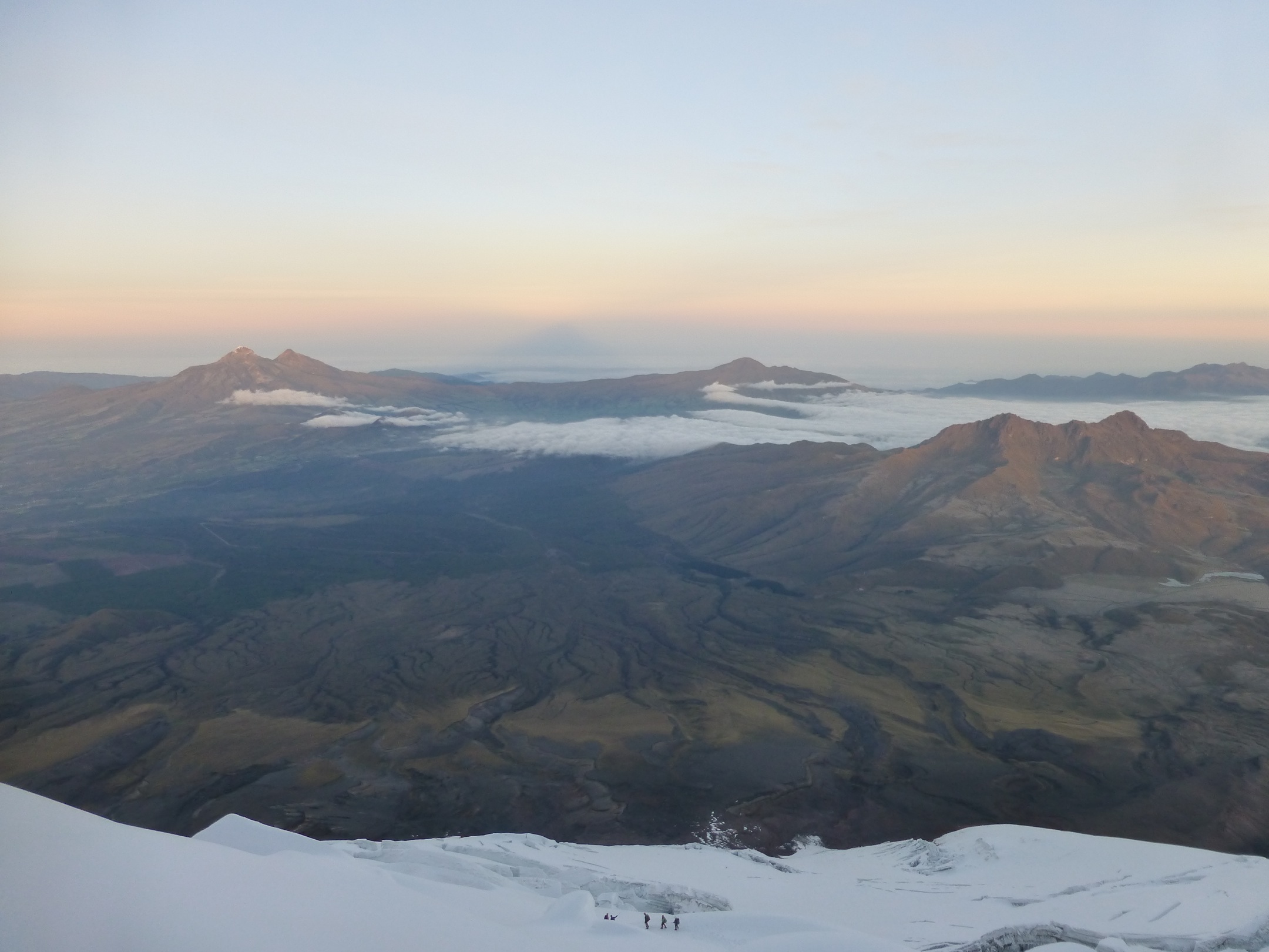
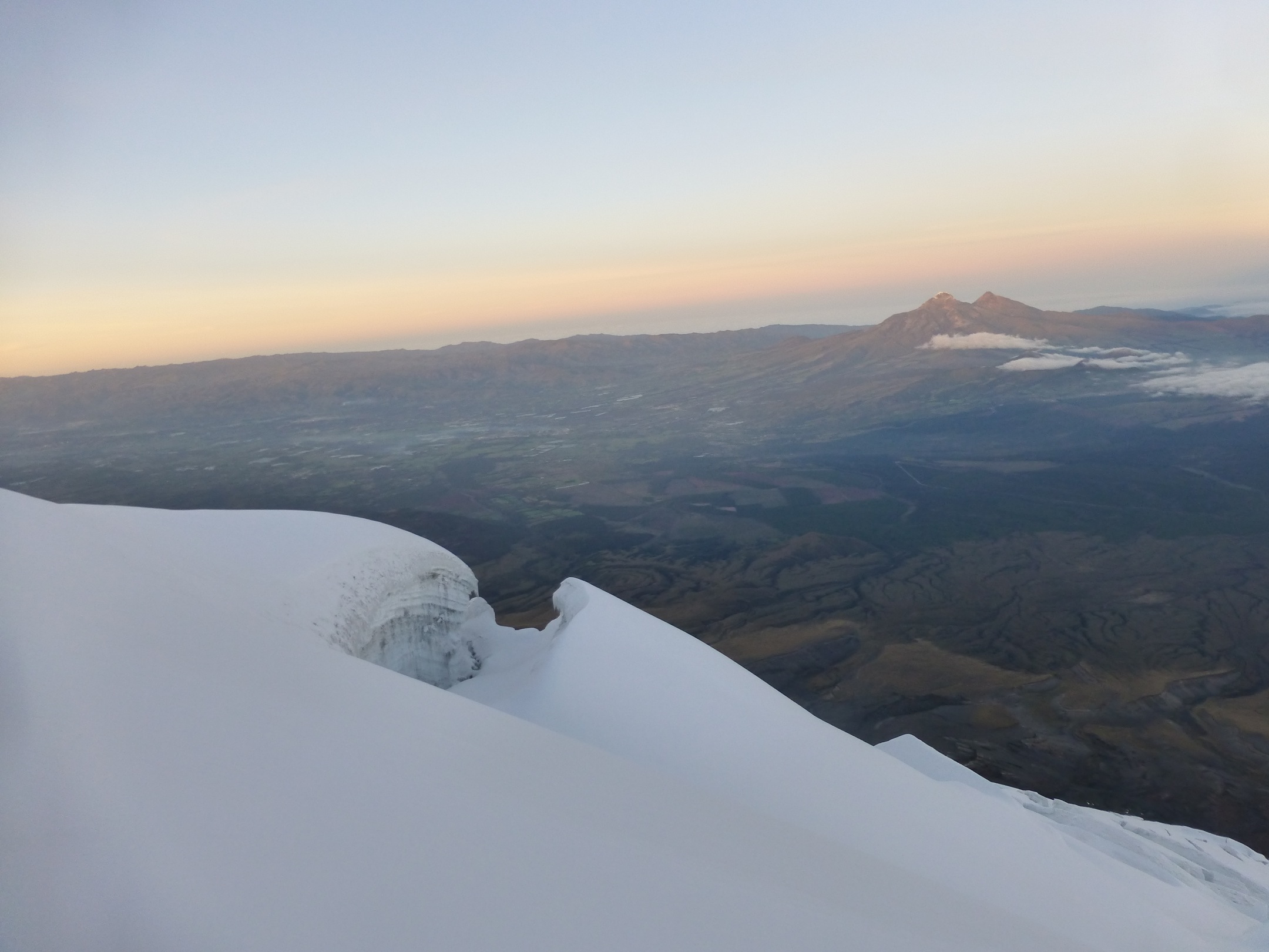
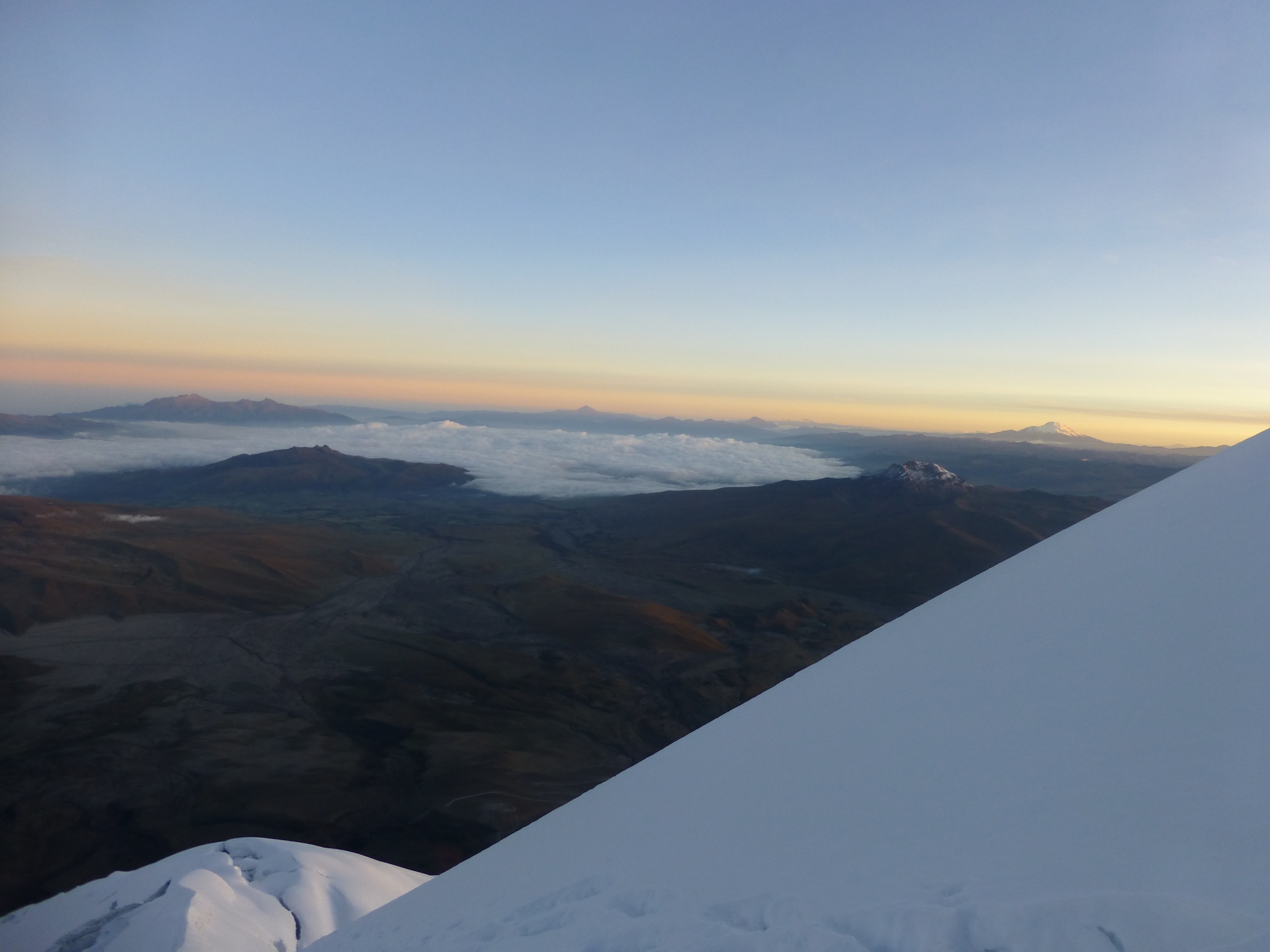
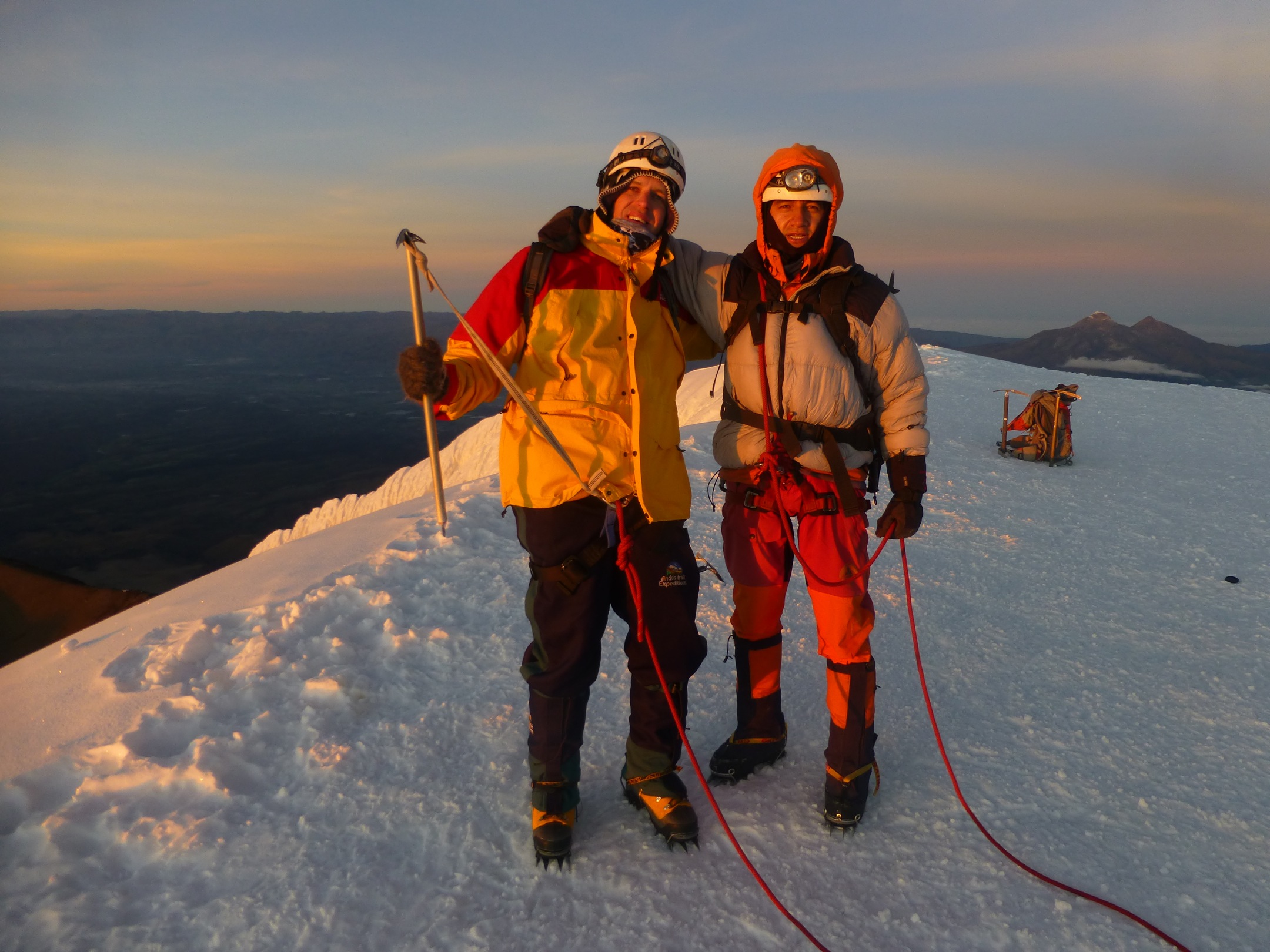
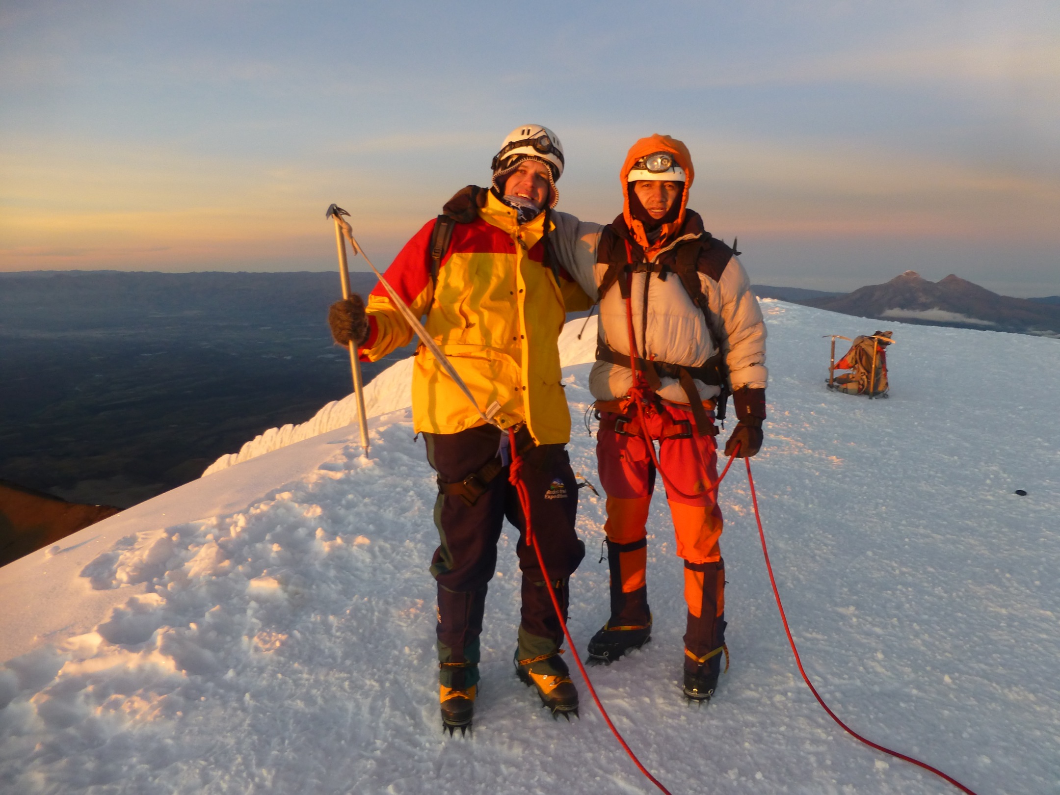
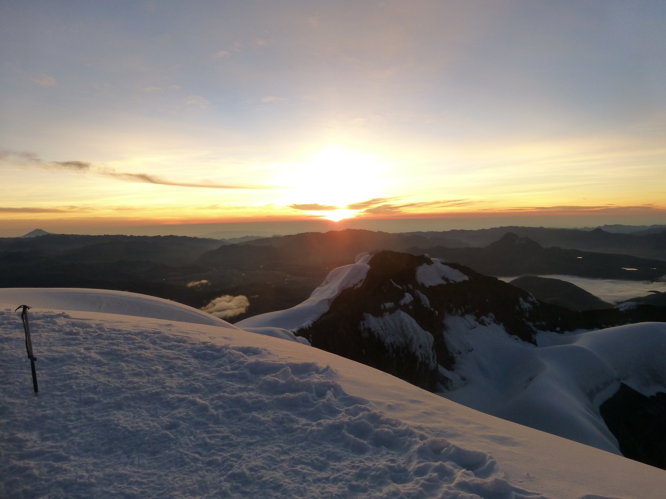
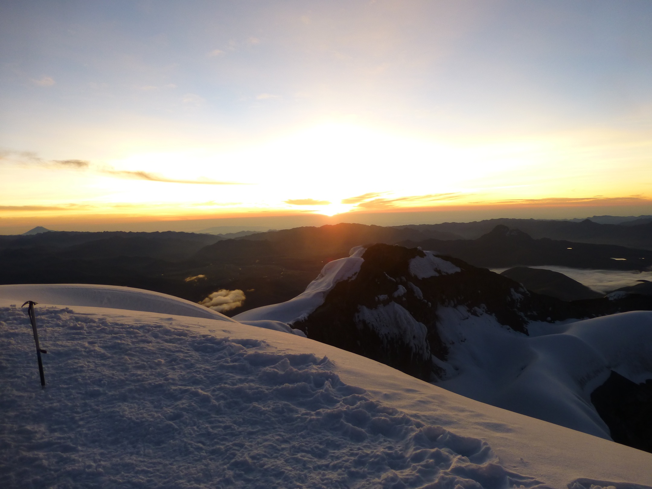
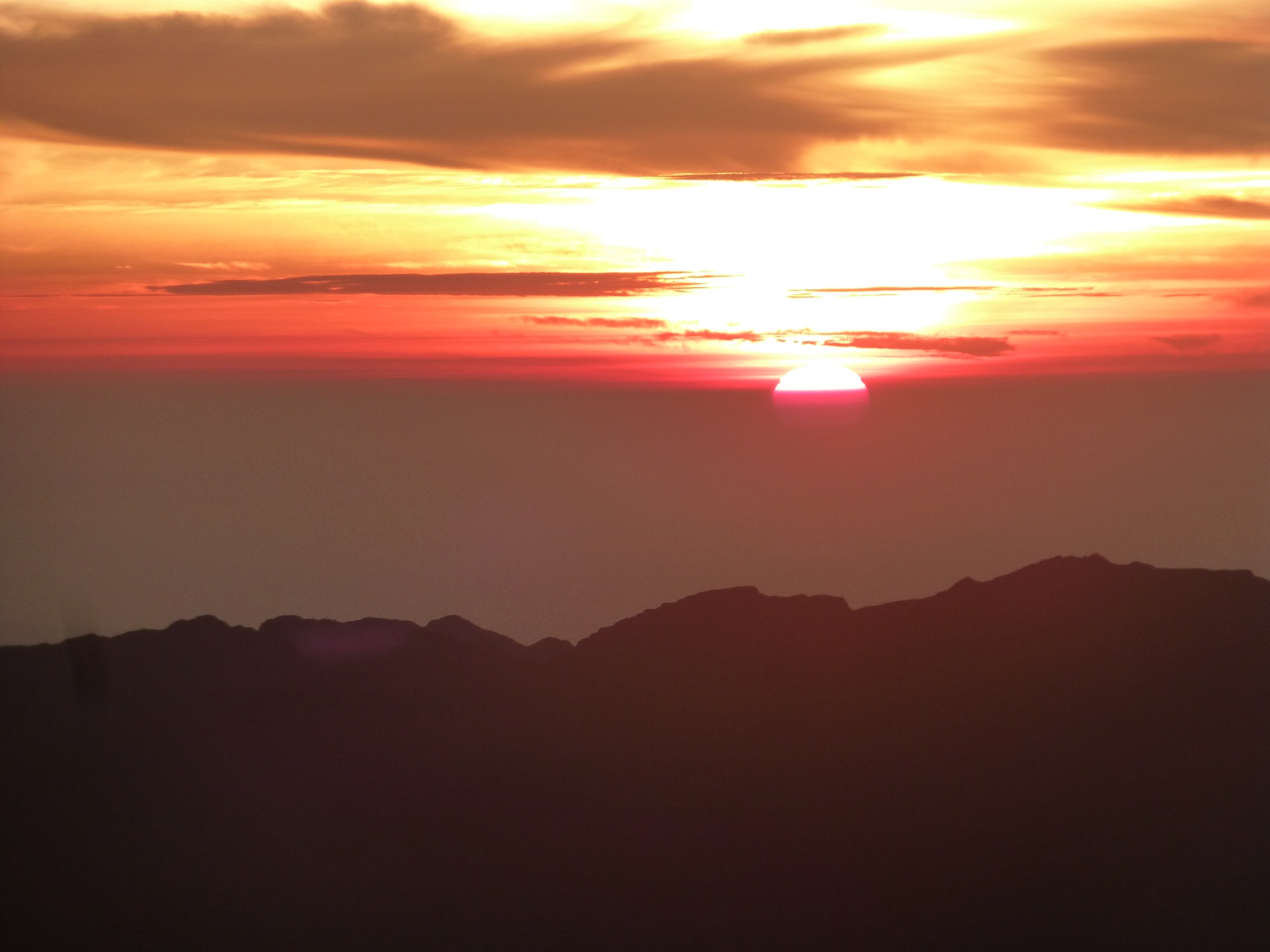
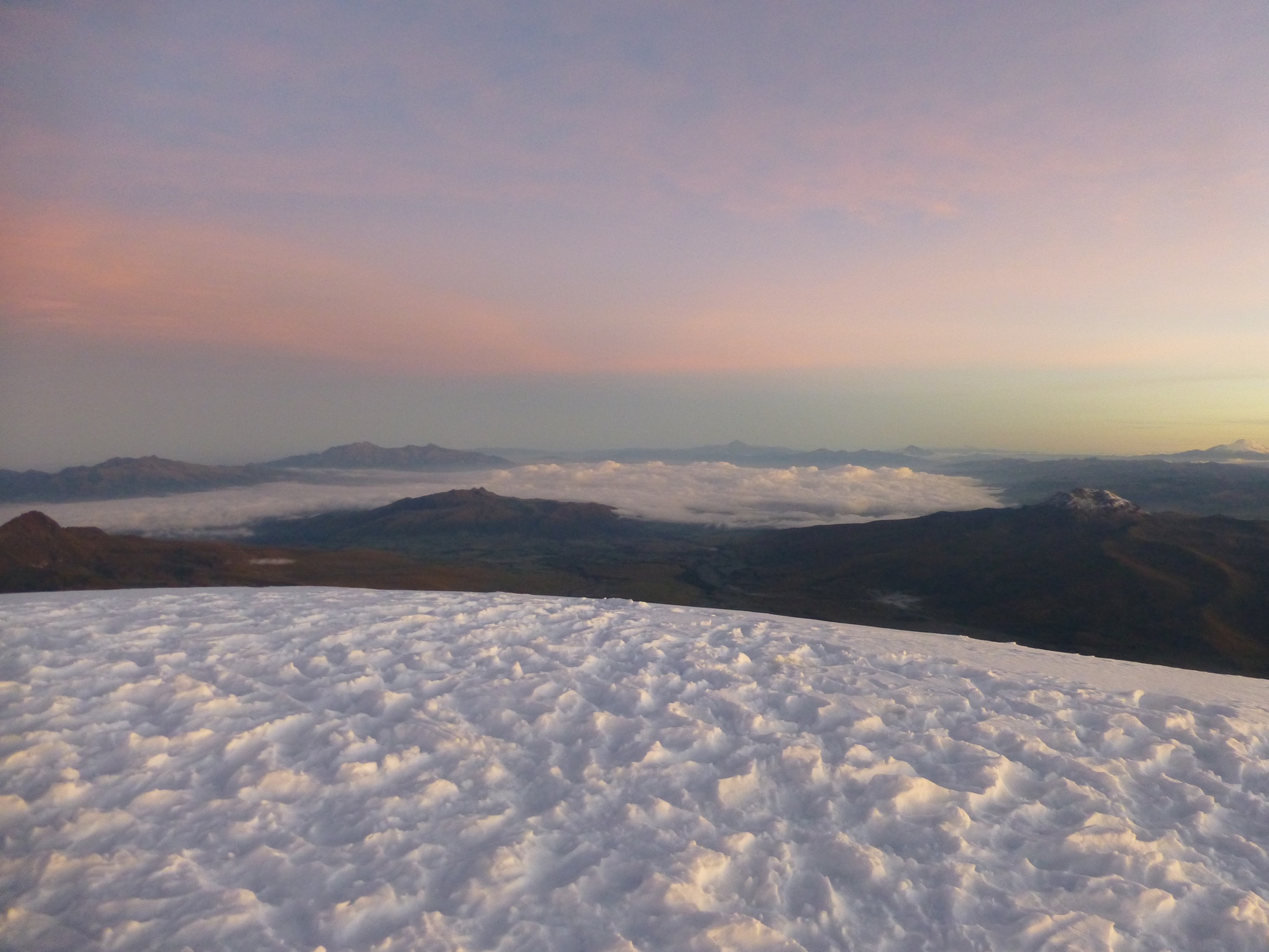
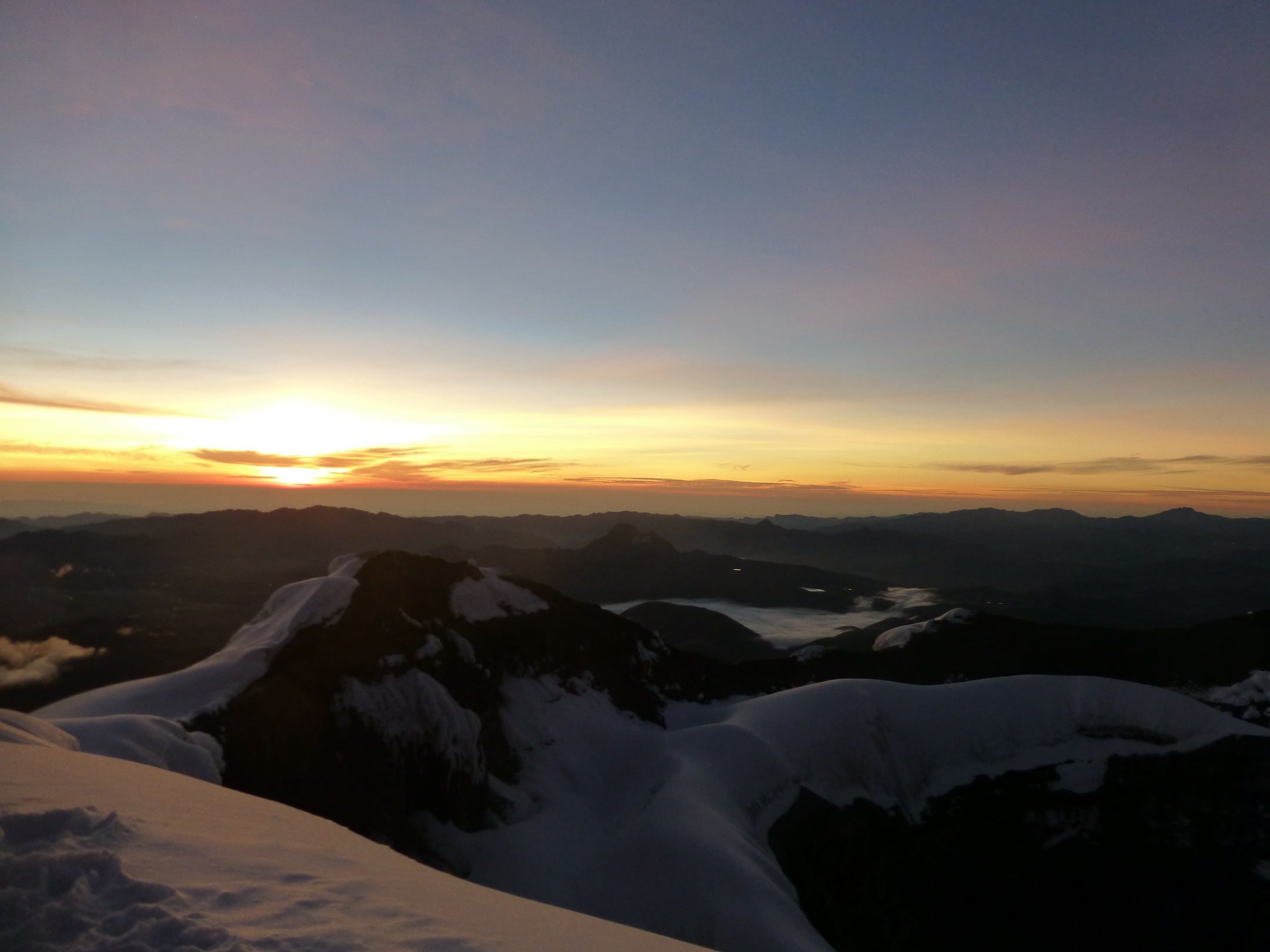
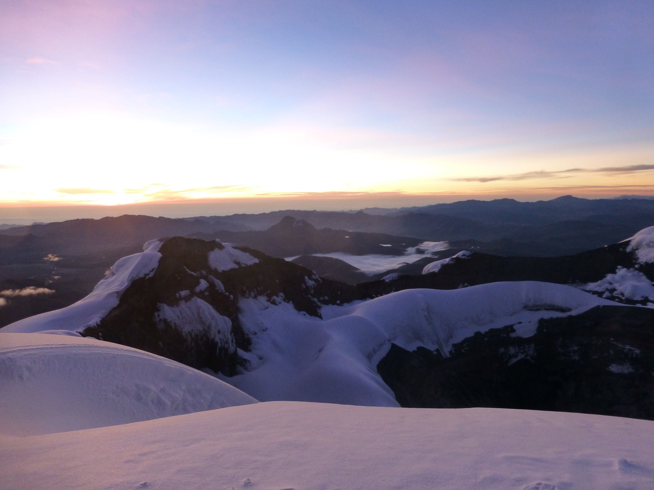
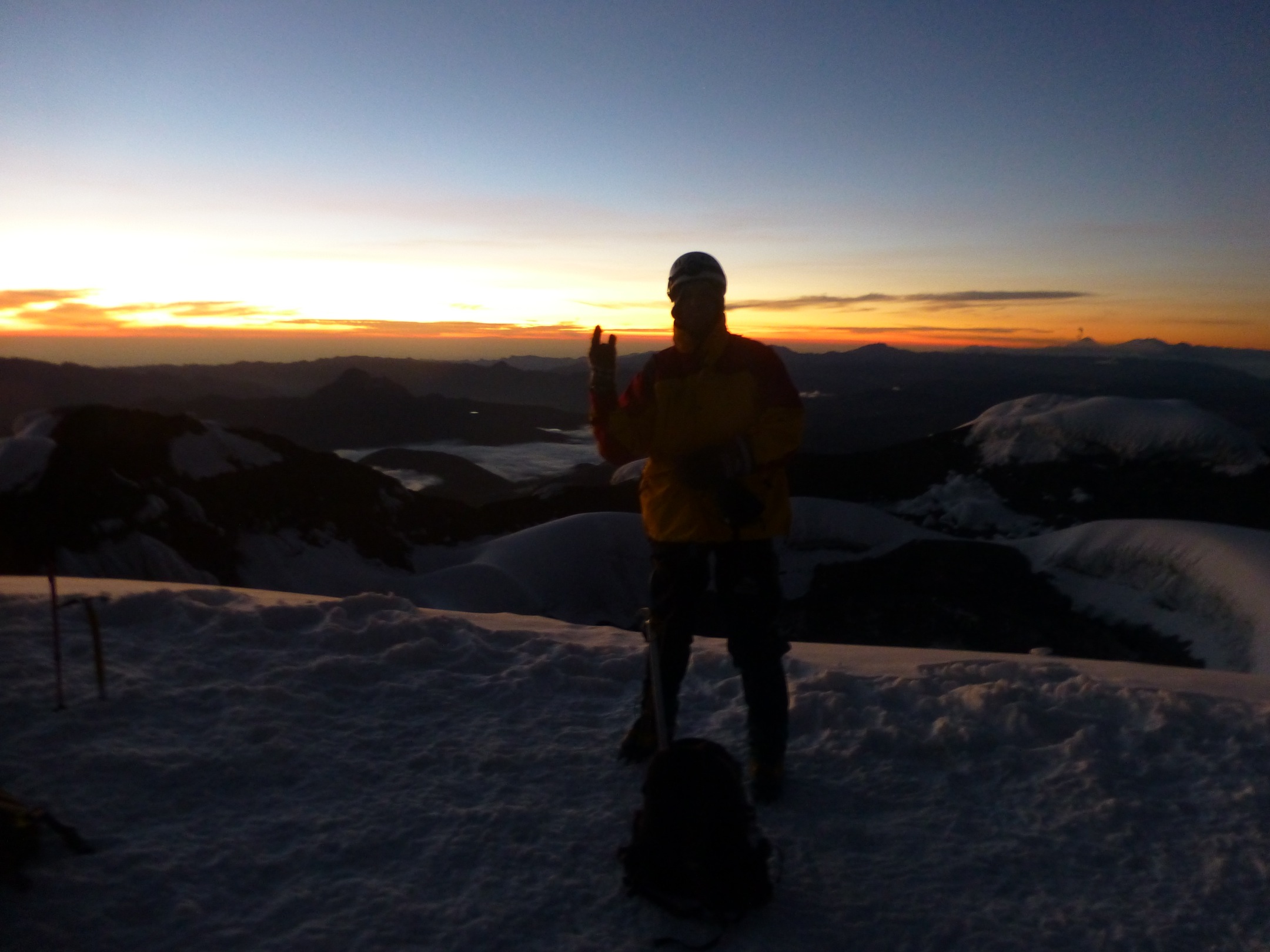
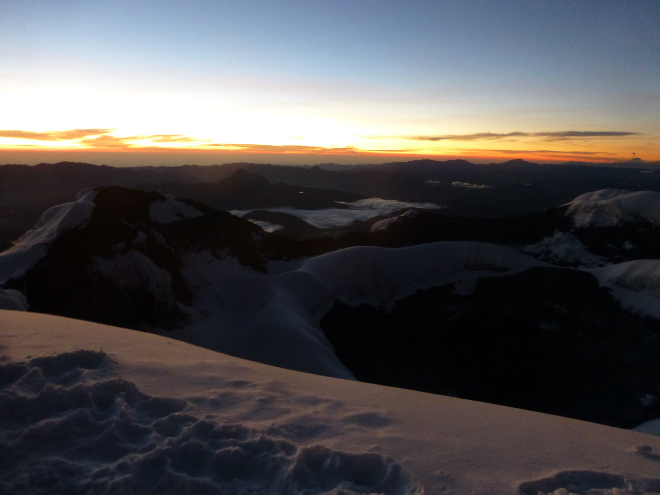
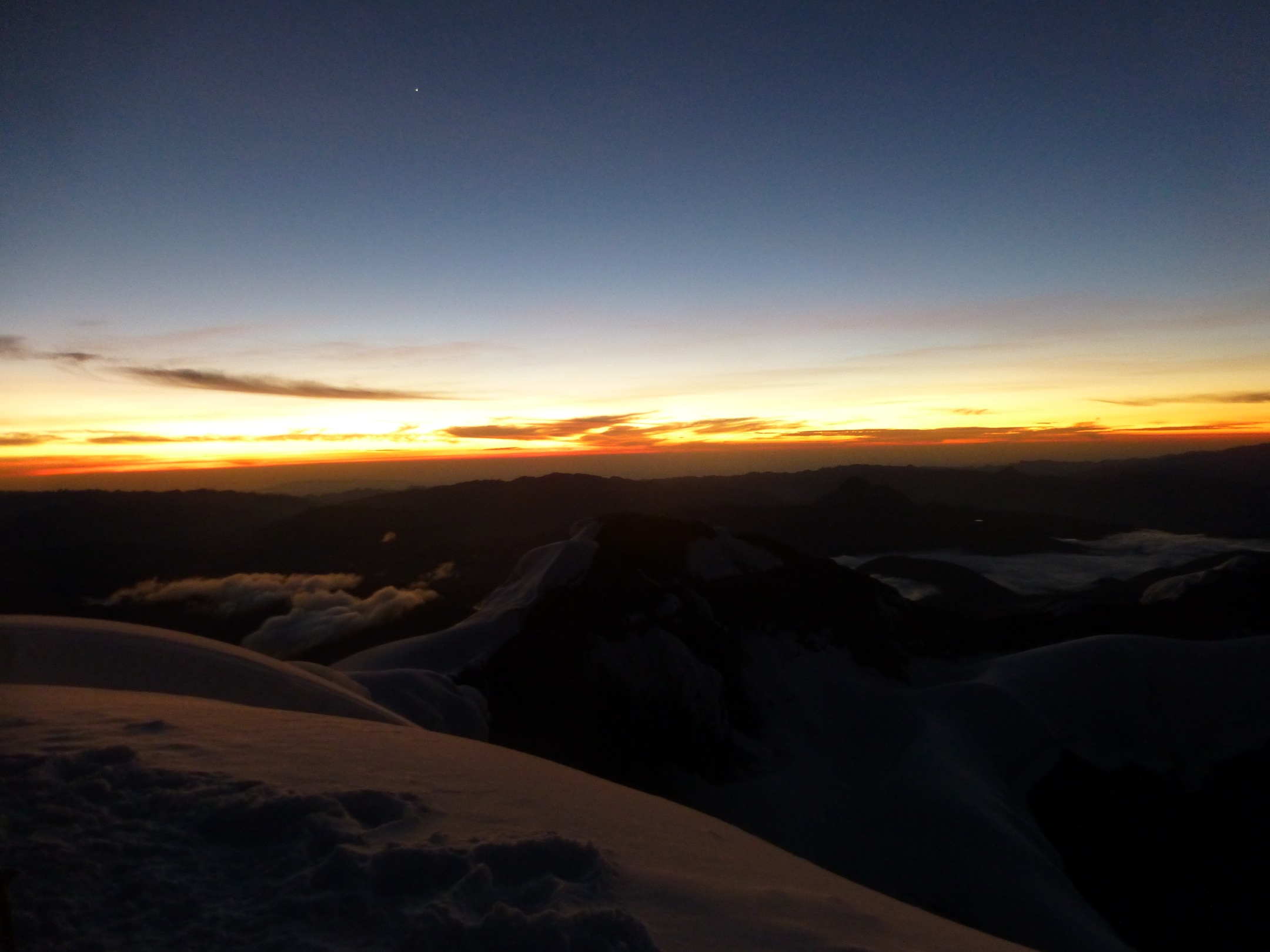
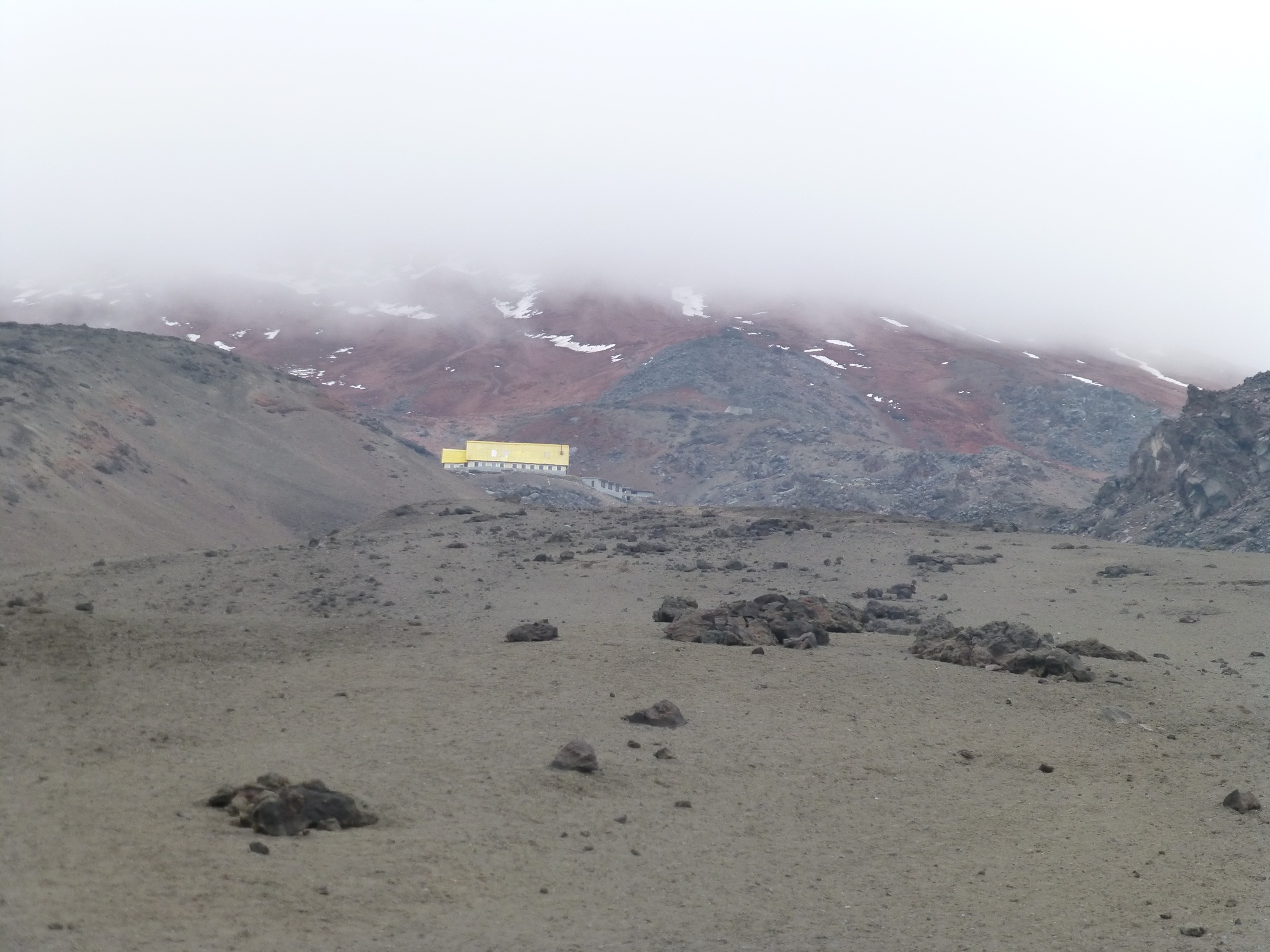
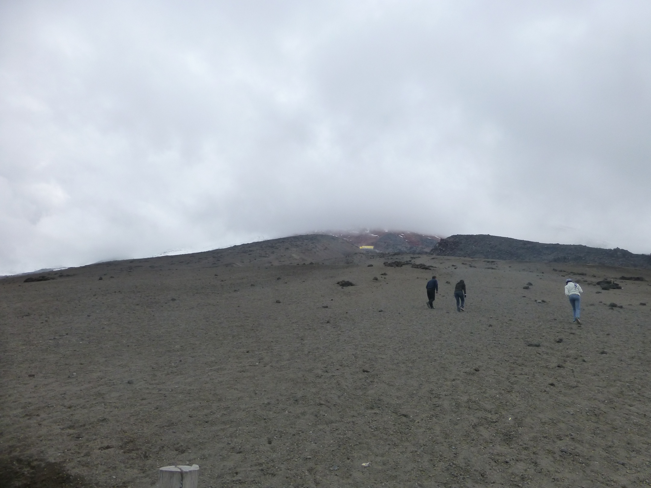
It was exhausting – but really good. Didn’t have that much “air problems” as with Potosí but it was a long hike in the night. We startet at 00:30 am to reach the summit just before sunrise at around 6am.
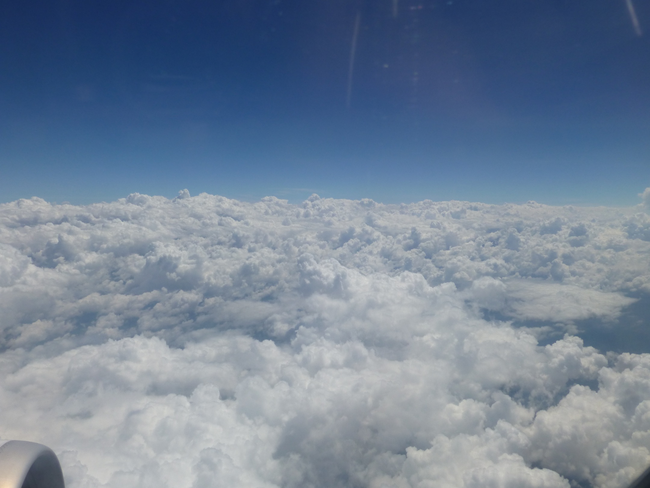
The pictures don’t really represent how great this was….
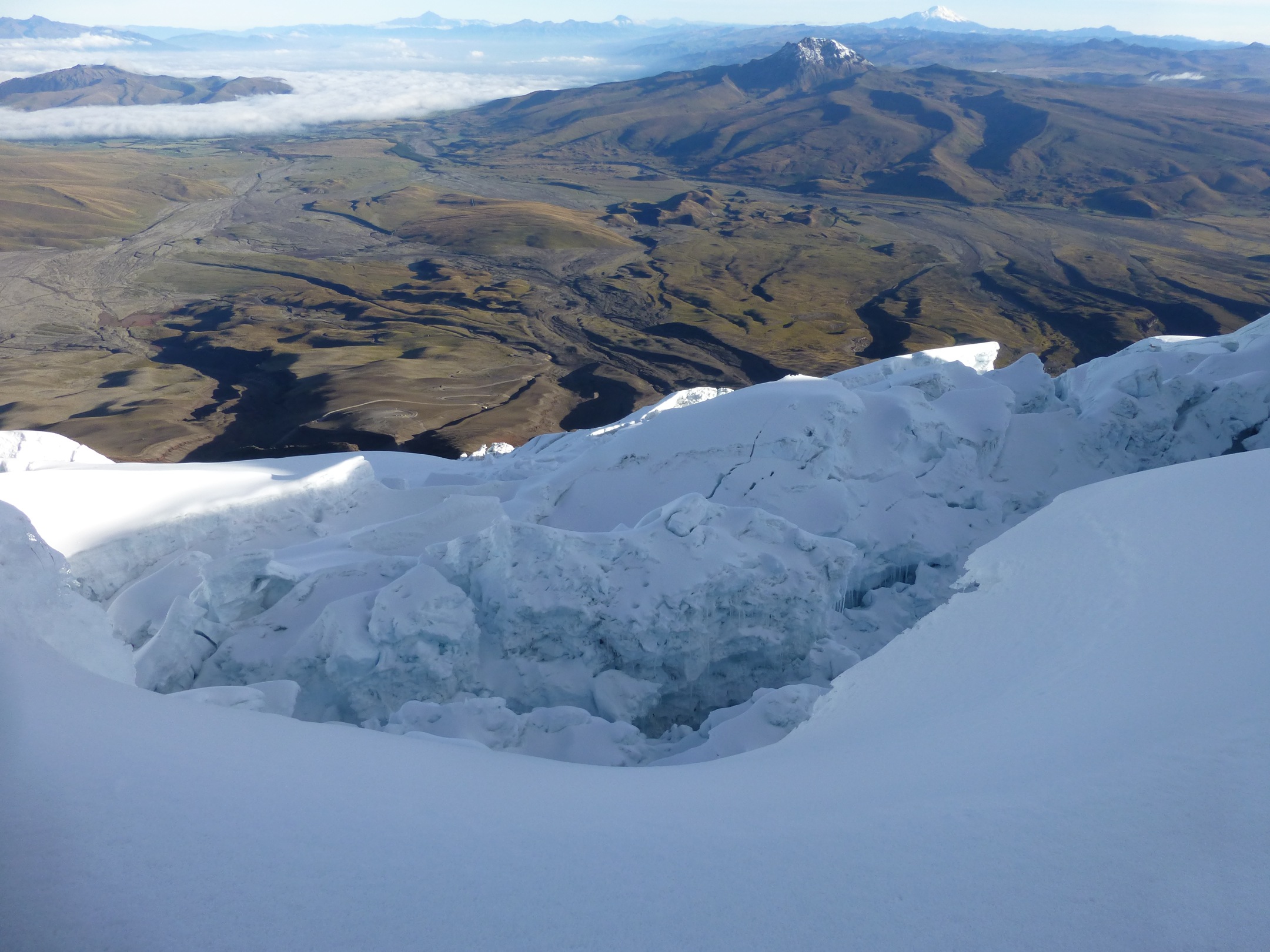
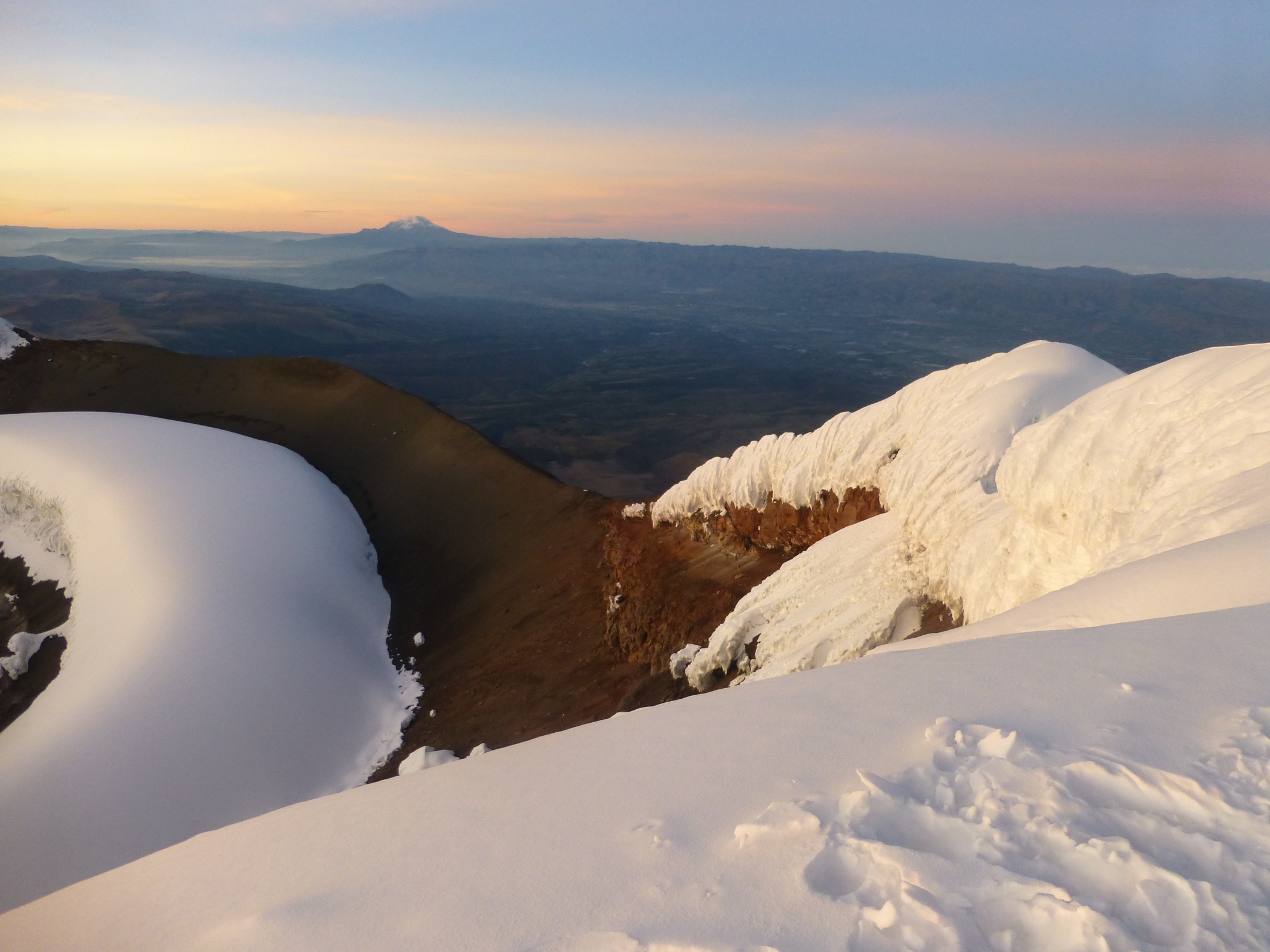
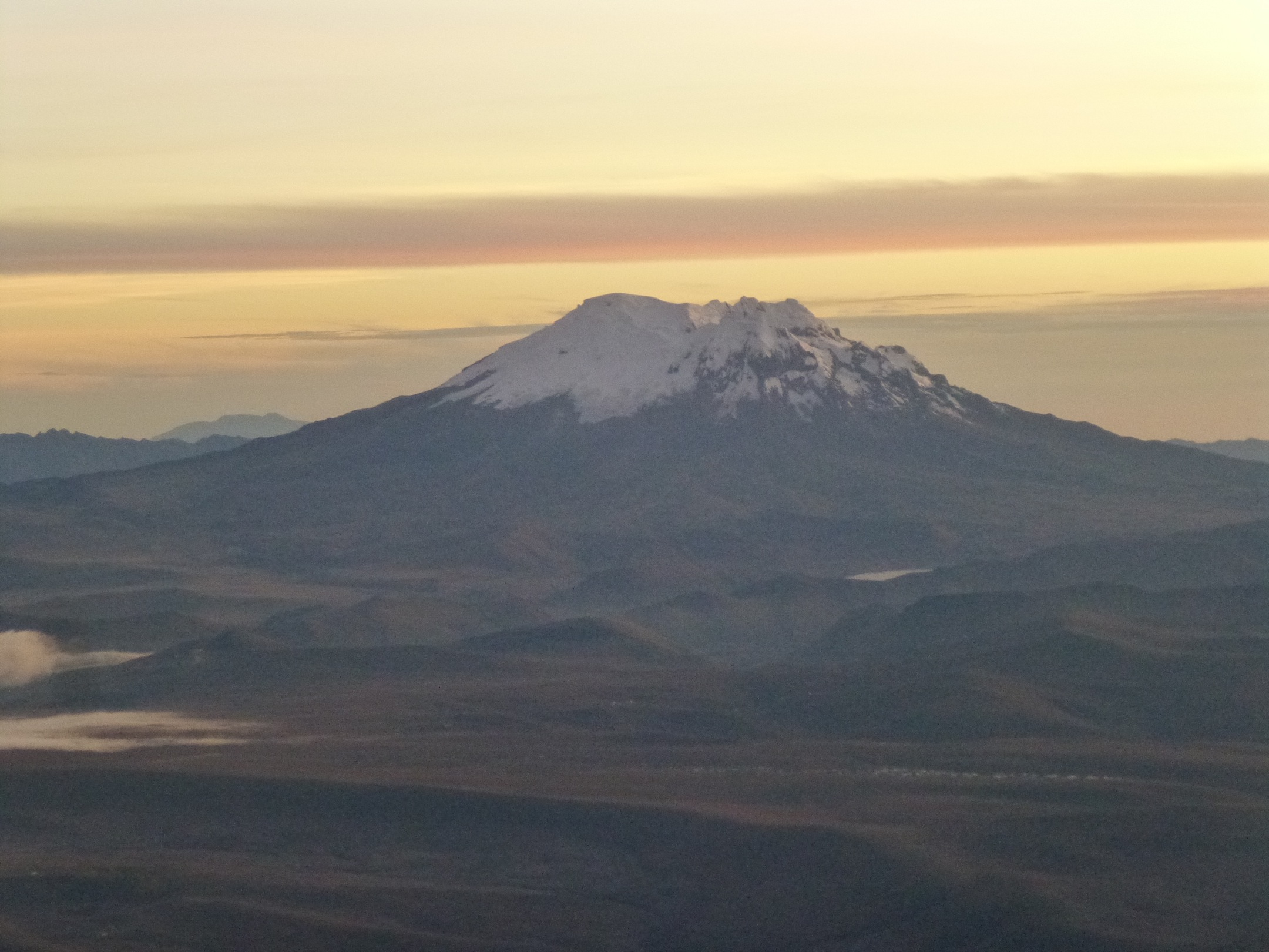
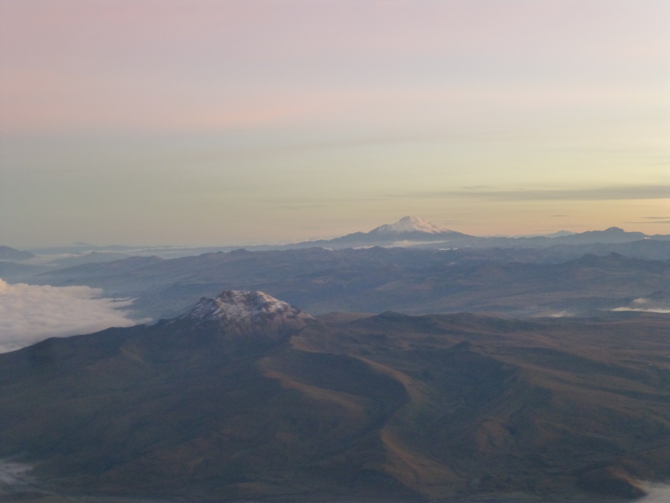
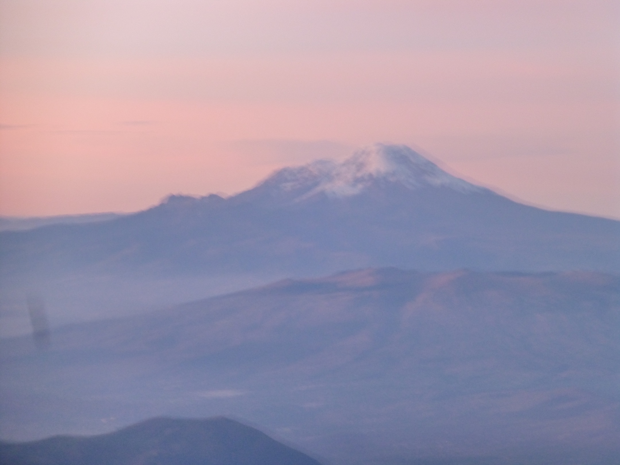
At the top we could see chimborazo … at that time I said: “no way I will climb that in like 45 hours from now” … but I did 🙂